The Yellowhead Highway Corridor stretches 3,500 km across Western Canada, along the Trans Canada Yellowhead Highway 16 from Winnipeg, Manitoba (Eastern Mile 0) west to Masset on Haida Gwaii, the former Queen Charlotte Islands (Western Mile 0) and south on Yellowhead Highway 5 to Hope, British Columbia.
From Tete Jaune Cache near the Alberta border in eastern BC, Yellowhead Highway 16 runs through the Cariboo Mountains to Prince George, and from there heads west through the Fraser Plateau, the Bulkley River Valley and the Skeena River Valley, before reaching the west coast at Prince Rupert. Yellowhead Highway 16 is connected to Haida Gwaii by BC Ferries, and takes up its course in Skidegate, before reaching the end of the road in Masset, on the northern shoreline of Haida Gwaii, formerly called the Queen Charlotte Islands.
The Fraser Plateau area is a 230-mile (370-km) stretch of Yellowhead Highway 16 that runs across the Fraser Plateau west of Prince George and links the Central Interior with Smithers and the Northwest, including Babine Mountain and Tweedsmuir Provincial Park. Like most Canadian provinces, British Columbia is bottom-heavy, with much of its population tucked away into its southwest corner.
Vanderhoof, about 60 miles (100 km) west of Prince George on Yellowhead Highway 16, is the geographic centre of British Columbia, and yet is considered to be well ensconced in the northern half of the province. But then, for many people in the Lower Mainland, anything north of Whistler is the far north.
This is land steeped in history. Alexander Mackenzie walked this way in 1793, becoming the first European to cross North America by land. The Alexander Mackenzie Historical Trail weaves its way through the vast wilderness between Yellowhead Highway 16 and Highway 20 to the south, and is one of the longest hiking trails in the province. Fort St. James, north of Vanderhoof, is one of the oldest white settlements in British Columbia. Every campground you visit, every trail you walk, every canoe route you travel likely has some history attached to it, from prehistoric fossils at Driftwood Canyon Provincial Park to century-old Native grease trails, to turn-of-the-century gold-rush and telegraph trails.
In the past, people had to walk, ride horses, or take canoes. Now, Yellowhead Highway 16 runs west from Prince George, carrying you through the north end of the Interior Plateau, a land rife with lakes of all sizes. Is it any wonder that this is fishing country, and that water sports are one of the most popular forms of summer recreation? This is also a land of long, cold winters and short, hot summers. In winter, the temperature can drop to below -22 degrees F/-30 degrees C for weeks on end. In the summer, clouds of insects, most of them out for blood, swarm about in early evening. If you are planning on travelling in this area, know your enemies and come prepared.
The Bulkley and Skeena River Valleys extend from Smithers through the Hazelton Mountains to Prince Rupert via Yellowhead Highway 16, including the Bulkley and Skeena Rivers, Kitimat, Terrace, the Kitlope Heritage Conservancy, and Gitnadoiks River Provincial Park.
There are many things this area isn’t. It’s not home to a major city such as Vancouver or even Prince George; it’s not a hugely popular tourist destination such as the near-mythical Haida Gwaii or the cozy Okanagan Valley area; and it doesn’t contain vast tracts of uncharted wilderness such as the north does. Therefore, it’s easy to overlook or underappreciate what, on closer inspection, is an adventurer’s playground. Accessible by paved road, ferry, and plane, this region is filled with both unique wilderness experiences and the ‘standard’ British Columbia fare of deep fjords, dramatic canyons, sheer mountains, rivers thick with salmon, old-growth forests, and an abundance of wildlife.
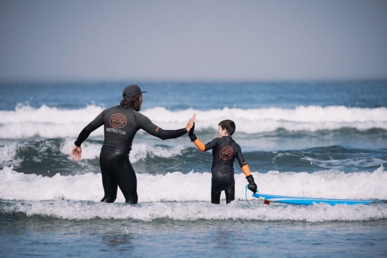
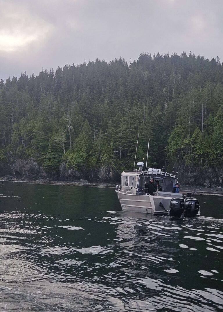
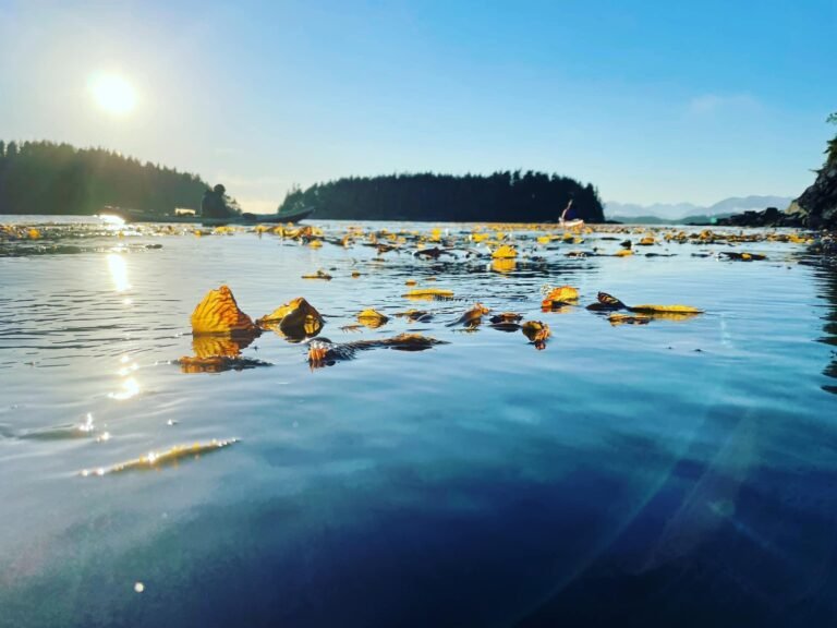
Nestled up under the Alaska Panhandle, this is the province’s northernmost coast. It’s home to the Skeena, the second-largest river in British Columbia. Over five million salmon return to the Skeena every year, making this a premier salmon-fishing area. Prince Rupert, with its highway, rail, air, and ferry connections, serves as a gateway to pristine wilderness. Stop and stay awhile on your way through – there’s room to relax and to play in this region, so rich in Native and pioneer history. And since this area includes the world’s largest intact coastal rain forest, bring your rain gear, just in case!
Circle Tours: See the best of Northern BC on one of the Circle Tours that capture the wonders of the north. The Circle Tour of Northern British Columbia incorporates the Alaska Highway through the Rocky Mountain foothills to Watson Lake in the Yukon, linking with the Stewart/Cassiar Highway and Yellowhead Highway 16 in the south. The Inside Passage Circle Tour and the Native Heritage Circle Tour follow the same route, from Port Hardy on Vancouver Island north by ferry to Prince Rupert. The hauntingly beautiful Haida Gwaii islands beckon to you before venturing east on the Yellowhead Highway to Prince George, and south through the peaceful Cariboo to Vancouver along the historic Cariboo Wagon Road. Take in some of the wonderful examples of Native art to be seen in British Columbia, both ancient and modern. View haunting totem poles, mystifying petroglyph stone carvings, heritage Indian villages, and Native arts and crafts skillfully carved by First Nations people. Circle Tours in British Columbia.
Location: Yellowhead Highway 16 runs from Tete Jaune Cache to Prince Rupert on the BC mainland, and continues on to Haida Gwaii, the former Queen Charlotte Islands, from Skidegate to Old Massett. Yellowhead Highway 16 links Smithers with Prince George to the southeast. From Prince George, near the mid point of the highway, Yellowhead Highway 16 runs west to Prince Rupert, and connects Prince George with eastern British Columbia at Tete Jaune Cache near the Alberta border at Jasper. Highway 97 links Prince George with Cache Creek to the south and Dawson Creek to the north.
Distances between Major Cities:
778 km (487 Miles) – Vancouver to Prince George
724 km (453 Miles) – Prince George to Prince Rupert
275 km (172 Miles) – Prince George to Tete Jaune Cache
Highway 27 leads north from Yellowhead Highway 16 at Vanderhoof and connects with Fort St. James on the shores of Stuart Lake, a distance of almost 38.5 miles (62 km). Highway 35 leads south from Yellowhead Highway 16 at the town of Burns Lake and connects with the town of Francois Lake, a distance of about 10 miles (16 km). Highway 37 (Stewart-Cassiar Hwy) links Yellowhead Highway 16 with points north on the way to the Yukon from Kitwanga, and Highway 37 links Yellowhead Highway 16 with Kitimat, 35 miles (58 km) to the south from Terrace.
For ferry access to Prince Rupert, visit our Transportation section. There’s a regularly scheduled airline service to Prince Rupert, Terrace, and Smithers from southern British Columbia. For information on passenger rail service between Smithers and Prince Rupert, contact Via Rail, 1-800-561-8630.
The following towns are located on or near the Yellowhead Highway 16 (east to west):
Valemount (on Yellowhead Highway 5), Tete Jaune Cache, McBride, Prince George, Vanderhoof, Fraser Plateau, Stuart Nechako, Fort St. James, Fort Fraser, Fraser Lake, Burns Lake, Lakes District, Granisle, Houston, Telkwa, Smithers, New Hazelton, Hazelton, Kispiox, Kitwanga, Terrace, Kitimat, and Prince Rupert.
Haida Gwaii (Queen Charlotte Islands): A 6-hour ferry crossing from Prince Rupert across Hecate Strait to Haida Gwaii will land travellers back on the Yellowhead Highway 16 at Skidegate on Graham Island. Heading north, the highway passes through Tlell and Port Clements before finally reaching the end of the road in the Haida village of Masset, on the north coast of Graham Island.