Nestled on Lower Arrow Lake, Needles is the western ferry landing for the Needles Cable Ferry service across Lower Arrow Lake from Needles to Fauquier on the eastern shore of Lower Arrow Lake. Another free highway ferry crosses Upper Arrow Lake at Shelter Bay/Galena Bay (Highway 23).
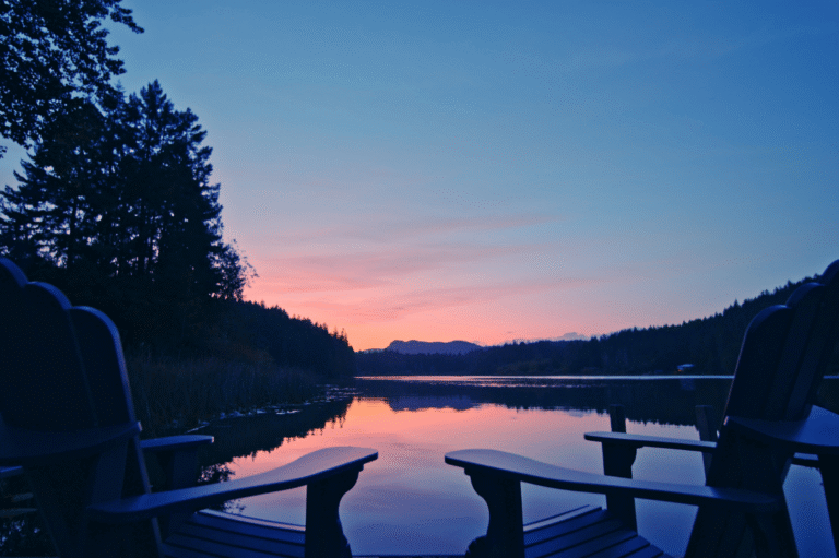
Upper Arrow Lake and Lower Arrow Lake are widened portions of the Columbia River as it wends its way south to the US border. The Arrow Lakes are situated between the Selkirk Mountains to the east and the Monashee Mountains to the west. The lake shores feature rocky headlands and steep cliffs, with mountain sides that are heavily forested and rise sharply to elevations around 2,600 metres.
Location: Needles is located on Highway 6 on the western shore of Lower Arrow Lake, in the Kootenays region of British Columbia. Needles is the western terminal of the free Arrow Lake ferry, connecting with Fauquier across Arrow Lake.
Ferry Route:
Car and Passenger Service across the Lower Arrow Lake, about 59 kilometres south of Nakusp on Highway 6, between Fauquier and Needles. The crossing time is 5 minutes, and the ferry capacity is 30 vehicles, 144 passengers. Operated by the Ministry of Transportation and Infrastructure of the Province of British Columbia. Click for BC Inland Ferry Schedules.
Granby Provincial Park is one of the last intact watersheds in the Southern Interior and access is limited. The lower forested drainage of this park includes old-growth stands of cedar and hemlock forest. The lower elevation forests offer hiking and fishing for experienced hikers with good outdoor skills while the grassy meadows at higher elevations offer year round recreational opportunities and form high quality grizzly habitat.
Arrow Lakes Provincial Park consists of a number of choice sites scattered along the length of the Upper and Lower Arrow Lakes reservoir system. The three sites on Hwy 6 on the northern end of Lower Arrow Lake have picnic/day-use areas and boat ramps: Burton, Fauquier, and Eagle Creek. The Shelter Bay site on the west side of Upper Arrow Lake also has vehicle/tent sites, located about 50 km south of Revelstoke on Highway 23, near the ferry terminal for the crossing to Galena Bay. All of the sites are open from May to September.
Martha Creek Provincial Park, farther north on Upper Arrow Lake, has vehicle/tent sites on both sides of Upper Arrow Lake. The park is also open May through mid-September, and all campsites are first-come, first-served. From most of the campsites, campers have direct access to miles of sandy beach. Visitors can find a quiet spot or join in the fun at the main swimming area. The park has picnic tables as well as a boat launch.
Fishing: With so much water in this part of the West Kootenays, the fish are never far away. Fishing for kokanee, dolly-varden, and rainbow trout is good in Upper Arrow Lake, accessible from Mchttps://britishcolumbia.com/wp-content/uploads/2020/07/discovery-islands-lodge-1-accommodation-quadra-island-british-columbia-1.jpg Creek Provincial Park. The various sites comprising Arrow Lakes Provincial park also provide access to Upper and Lower Arrow Lakes.
Golf: Golfers can take the Arrow Lake ferry to play the Fauquier Golf Course on the eastern shoreline of Arrow Lake. Putt on the interesting green projecting into the lake, or visit in winter and search for golf balls in the sand as the lake’s water level drops. The 9-hole semi-private Fauquier Golf Course is located on Highway 6, amongst beautiful mountain and lake scenery.
Golf Vacations in British Columbia.
Fauquier was re-established after the Hugh Keenleyside Dam’s waters rose. Some communities were flooded by the new reservoir, and Needles, now only a ferry dock, was abondoned. The town consists of a gas station, golf course and a motel. The enormous Hugh Kennleyside Dam spans the Columbia River to form Lower Arrow Lake. The structure features a lock system that allows boats to pass from one side of the dam to the other, despite the differing water levels.
Northwest of Needles is the town of Cherryville located on Highway 6 in the foothills of the Monashee Mountains. The small community of Cherryville was an old gold mining camp founded in the 1860s by prospectors from the California gold rush. The original town that we now know as Cherryville was merely a small mining camp located within the canyon walls of Cherry Creek.


