The small community of Topley is located on the Yellowhead Highway (Highway 16) in northern British Columbia, in a region known as the Lakes District.
Topley was first settled during the construction of the Grand Pacific Railway, and acted as a home base for the section crews in the area. When the town site opened its first post office in 1921, it was decided to name the town after early settler William J. Topley.
The are has unlimited opportunities for fishing, boating, hiking, horseback riding, camping, cross-country skiing and wildlife viewing.
Topley has a general store with a gas station, two restaurants, and two service stations.
Location: Topley is located on Yellowhead Highway 16, between Burns Lake and Houston, approximately 278 km (172.2 miles) west of Prince George (3-1/2 hours). The nearest commercial airport is at Smithers, approximately one hour away.
Fulton River Spawning Channel: Witness one of the largest salmon runs in the world at the Fulton River Spawning Channel. Drive 35 km north of Topley on a paved road and look for the spawning channel just after you cross the Fulton River Bridge. From mid to late September hundreds of thousands of spawning Sockeye Salmon fill the Fulton River and spawning channel.
A fish counting fence improves viewing opportunities and interpretive signs can be found along the riverbank. Keep an eye out for Osprey, Bald Eagles and Black Bears attracted by the salmon carcasses. Similar viewing opportunities are found at the Pinkut Creek Spawning Channel north of Burns Lake.
Hatcheries: Visitors are also welcome at the Pinkut Creek and Fulton River Hatcheries, the largest of their type in the world, holding up to 180,000 adult sockeye salmon. The best viewing is during the summer, in late August and early September.
The 177 kilometre long Babine Lake is the longest natural lake in BC, with 170 kilometres of shoreline to explore.
Red Bluff Provincial Park is named for the iron-stained cliffs that plunge into Babine Lake. The park offers sites for camping, a picnic area, a boat launch, nature trails and a fabulous sandy beach.
Topley Landing Provincial Park is located at Topley Landingon the western shore of Babine Lake, 25 miles (40 km) north of Topley. A large natural beach dominates the 12-hectare park’s frontage on Babine Lake, providing a good picnicking spot and outdoor recreation site, primarily for residents from Tachet, Granisle, Topley Landing and Topley.
Hiking: Hike the wonderful trails around Topley, including the trail to the summit of China Nose Mountain, home to mountain goats, black bears, and bald eagles.
Camping: Sunset Lake Recreation Site offers 8 vehicleaccessible campsites, along with boating, canoeing, fishin, swimming, and water skiing on Sunset Lake. Accessed by a 1-Km drive on Rondeau Road of Sunset Lake Road.
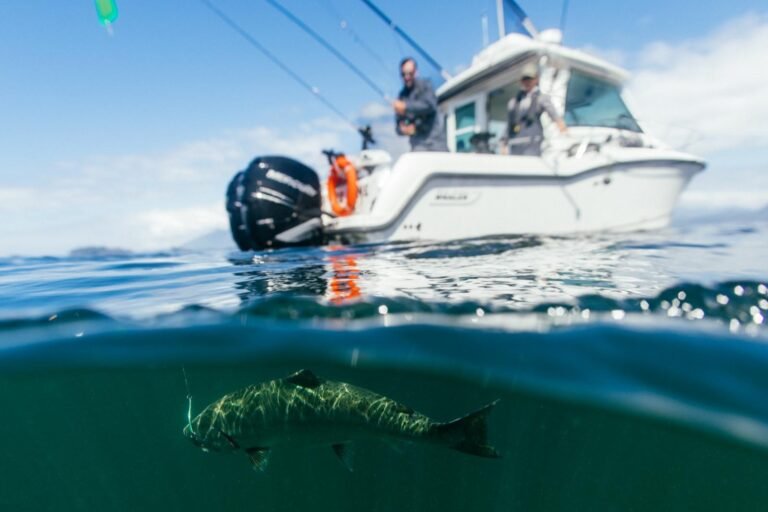
Fishing: Topley is located in fanastic fishing territory. To the north of topley is the Babine Lake system, internationally known for its rainbow trout, char, kokanee, burot, salmon and steelhead. The fishing is par excellence in the extensive system of lakes and rivers that surround nearby Houston, which can rightfully claim to be the Steelhead Capital of Canada thanks to the productive Bulkey and Morice rivers that merge in Houston.
Winter Activities: Snowmobiling is very popular in the area, and The Morice Mountain Nordic Ski Club maintains 25 kilometers (15.5 miles) of cross-country skiing trails, which in summer double as hiking and nature trails.
Wildlife Viewing: Wildlife in the area includes black bears, grizzly bears, deer, moose, wolves, and coyotes.
Tachet Landing: The Fulton River flows into Babine Lake south of Granisle, just north of the Babine Nation community of Tachet Landing. The modern village of Tachet Landing has a satellite band office and approximately 130 permanent residents. There is also a settlement at nearby Old Fort, a truly historic and rustic spot. An easy hike upstream takes you to Millionaires Pool, below the beautiful Fulton Falls.
Take the Houston/Granisle Circle Tour by following Highway 16 west through Houston to Telkwa, where you turn off the main highway onto the back roads to Granisle. There are breathtaking views of the Telkwa Range, Tyhee Lake, and Hudson Bay Mountain, with many places to stop and take pictures. Travellers can go for a swim or relax at one of the beaches, picnic areas and rest areas, including one on the Bulkley River. From Granisle the road winds south to Topley on Highway 16. Maps and directions of the circle tour are available from the Visitor Centre in Houston.
Circle Tours: See the best of Northern BC on one of the Circle Tours that capture the wonders of the north. The Circle Tour of Northern British Columbia incorporates the Alaska Highway through the Rocky Mountain foothills to Watson Lake in the Yukon, linking with the Stewart/Cassiar Highway and Yellowhead Highway 16 in the south. The Inside Passage Circle Tour and the Native Heritage Circle Tour follow the same route, from Port Hardy on Vancouver Island north by ferry to Prince Rupert. Catch another ferry to the Queen Charlotte Islands, or venture east on the Yellowhead Highway to Prince George, and south through the peaceful Cariboo to Vancouver along the historic Cariboo Wagon Road.
Circle Tours in British Columbia.


