Imagine a magical place where the sun shines on most days of the year on grasslands, rolling hills, historic ranches and shimmering lakes. Such a place exists in the southern interior of BC, where the sun heaps over 2,000 hours of annual sunshine upon Merritt and the Nicola Valley. The charming Nicola Valley is steeped in history; mining and railways, western lifestyle, and First Nations culture.
The name Nicola was given to the famous chieftain Hwistesmetxquen by the early fur traders for the obvious reason that they couldn’t pronounce his Native name. When they tried it phonetically, it sounded vaguely like Nicholas or Nicola, and their mispronunciation has remained.
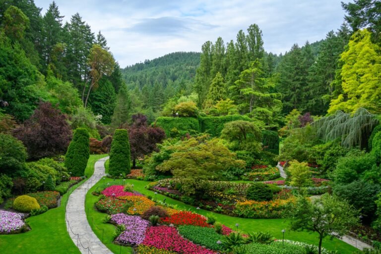
The range of wildlife and vegetation in the valley varies dramatically with terrain and elevation, and the entire Nicola Valley is filled with amazing natural attractions. Wind erosion has created unique formations in the walls of Windy Canyon near Merritt, and ancient Glacial Shore Lines of 10,000-year-old glacial lakes are visible in the grasslands, particularly along Highway 5A north of Merritt. Ancient volcanic Lava Cliffs can be viewed along the hiking trail at Monck Provincial Park, and amazing Hoodoos can be found along Highway 8, west of Merritt towards Spences Bridge.
The Nicola Valley is served by the Coquihalla Highway (Highway 5) that travels from Hope north to Kamloops via Merritt. The Coquihalla Highway climbs through the Great Bear Snow Shed, crests the summit of Coquihalla Pass (elevation 4,068 feet/1240 m), then crosses the top of the Thompson Plateau, with side roads leading off into rolling countryside speckled with fishing lakes. The Coquihalla Highway was the only toll road in BC, until the toll was eliminated in September 2008 after recovery of the construction cost of the Hope-to-Merritt section.
Highway 5 follows the Coquihalla River to Merritt and is particularly scenic in the early fall, when rolling fields and forest foliage take on a golden glow. The surrounding Merritt Forest District supports stands of Engelmann spruce, lodgepole pine, and subalpine fir at higher elevations; Douglas fir and ponderosa pine are found on the lower benchlands. Extensive grasslands also occur at low-elevation areas, particularly toward Merritt. Moose, mule deer, bears, and grouse are the main wildlife species here, while small numbers of elk and mountain goats find refuge in the south.
Population: 15,000
Location: The Nicola Valley is located in the heart of the Coquihalla, with the economic centre of the valley in Merritt. The main access to the Nicola Valley is via the Coquihalla Highway from Hope and Kamloops. Other access routes include Highway 8 from Spences Bridge, Highway 97C from Ashcroft, Logan Lake and Kelowna, and Highway 5A from Princeton. Driving time from Vancouver is 3 hours, 90 minutes from Kelowna, and less than an hour from Kamloops.
Merritt
Merritt is the service centre for the ranch country of the Nicola Valley, and provides an excellent base for exploring the many outdoor recreational opportunities in the area. Initially discovered by pioneers searching for a route between the Coast and the Interior, the valley was used as a brigade trail by the 1850s. What they discovered here was a vast expanse of grasslands where livestock could roam. The ensuing settlement originated at the meeting of the Nicola and Coldwater rivers, with ranchers, loggers, prospectors, merchants, and businessmen all making a living.
Quilchena
Quilchena is located on the east shore of Nicola Lake, east of Merritt. Take the Highway 5A exit east off the Coquihalla Highway. The remote Quilchena Hotel captures the ambience of southwestern British Columbia’s cattle country. A stop at the old hotel provides visitors with a whiff of life as it once was in the Nicola Valley. It attracts a motley assortment, from moneyed urbanites to cattle barons.
Guests share bathrooms and dine together. Ride horses, golf on the adjacent course, or search the nearby fossil beds. This grand hotel was built by rancher Joseph Guichon in the hope that the Spences Bridge-Princeton CPR rail line would be built along Quilchena Creek. This did not happen, but the hotel opened anyway, hosting polo matches, fishing derbies, dinners and dances, until forced to close during Prohibition. In 1958, Guichon’s grandson re-opened the hotel and it is still family-owned and operated to this day.
Brookmere
The community of Brookmere served as a regular stop along the Kettle Valley Railway until 1966, and is still home to the last standing Kettle Valley Railway caboose and water tank (Brookmere Water Tank). Brookmere is located south of Merritt on Brookmere Road, east of Highway 5.
Nicola
The Nicola townsite and Nicola Ranch was once a thriving community of 40 families in 1885. Nicola – the original birthplace of Merritt – lost its competition with Forksdale (now Merritt) to be the commercial centre of the valley once coal was discovered near the confluence of the Coldwater and Nicola rivers. However, the stock farm at Nicola Ranch survived and still exists as a working ranch and tourist attraction, and heritage buildings such as the courthouse have been restored to their original grandeur.
Murray Church was the first church in the Nicola Valley, built of lumber from nearby Mill Creek. Named in honour of its founder, Reverend George Murray, and once a jewel and sanctuary for people in Merritt, the Murray Church was destroyed in a suspicious fire in January 2019, and is now just a pile of ash and rubble in the countryside along Highway 5A north of Merritt, at Nicola Ranch.
The Nicola Valley Museum in Jackson Avenue in Merritt is an excellent source of heritage information, historical documentation and displays. The museum portrays life in the valley at the turn of the twentieth century.
Kettle Valley Railway: Coldwater Road parallels this old retired rail bed, which in its day, served to carry timber and cattle from the interior of BC to the coast.
The historic Baillie Property in Merritt consists of a house, barn, store, storage garage, and heritage-style garden. Baillie House was built by Cosam Bigney in 1908 for his bride-to-be. Unfortunately she fell in love with another man and never set foot on the property. The Baillie House and its heritage garden are open as visitor attractions and offer daily tours as well as afternoon teas on Sundays throughout the summer.
The Coldwater Hotel is one of Merritt’s most famous landmarks, with it’s copper dome and pressed-copper bar ceiling. Built by William McIntyre in 1909, the Coldwater Hotel served a booming ranching and coal mining economy as was ‘one of the finest dollar-a-day hostelries in the interior’! Renovations have restored this magnificent structure closer to its original form.
Agritourism is popular in the Nicola Valley, incorporating both agriculture and the ranching lifestyle that makes the Nicola Valley so unique!
The largest and most northerly provincial campground in this area is Lac Le Jeune Provincial Park, located 37 km southwest of Kamloops. Besides camping and water sports, it provides lakeshore hiking opportunities, horseshoe pitches, and visitor-program activities in its amphitheatre. The park also contains two archaeological sites. The waters of Lac Le Jeune are famous for producing fighting rainbow trout.
Monck Provincial Park is located on the northwest side of Nicola Lake, 13.6 miles (22 km) north of Merritt. Hiking trails, including an interpretive walk to some lava beds, provide spectacular views of the valley and surrounding countryside. The park features an amphitheatre, boat launch, horseshoe pitches, and three archaeological sites. This area of the Nicola Valley was a winter encampment for Natives for centuries before European settlers arrived. Pithouse depressions remain near the park’s beach as evidence of their habitation. The vegetation of this part of the Thompson Plateau is chiefly ponderosa pine, Douglas fir, and black cottonwood. Tule and cattail, both used in Native mat making, grow in dense patches round the shore of Nicola Lake.
Kentucky-Alleyne Provincial Park is located 24 miles (38 km) south of Merritt off Highway 5A via Look Lake Road. The rolling grasslands and dry open forest surround the sparkling turquoise waters of Kentucky Lake and Alleyne Lake. The scenery is spectacular from early April to late October with springs’ palette of soft pastels slowly changing to the vibrant golds of autumn.
Accessible via the Lac Le Jeune exit just off the Coquihalla Highway, is Walloper Lake Provincial Park, about 60 km northeast of Merritt. This small lake is surrounded by an open lodgepole pine forest. Facilities include picnic tables in a day-use picnic area, pit toilets, and a fishing wharf. No overnight camping is permitted, and an undeveloped area provides launching for small boats only.
Coldwater River Provincial Park, south of Merritt and just north of the summit on the Coquihalla Highway, provides opportunities for great steelhead fishing in the Coldwater River. Nearby are the Coquihalla Lakes, where both the Coquihalla River and Coldwater River have their sources.
Golf: Golfing in the Nicola Valley is both scenic and enjoyable. The public 9-hole Nicola Valley Golf Course in Quilchena is located adjacent to Nicola Lake and the historic Quilchena Hotel. Facilities include a 25-unit RV Park. Golfers can also tee off at the Merritt Golf and Country Club in nearby Merritt. Golf Vacations in British Columbia.
Camping: In addition to the campsites at Monck Provincial Park, numerous small, rustic campsites in the region are maintained by Recreation Sites and Trails BC. They are located near lakes and rivers, blending in with the natural surroundings. Although these sites do not offer sophisticated amenities such as power hookups and piped water, they include basic sanitary facilities, fire rings, picnic tables and, where appropriate, boat-launch ramps. Access is mostly via narrow unpaved roads, not always suitable for large RVs. Three popular sites with two-wheel-drive access via gravel road are those at Harmon Lake West, Harmon Lake East, and Kane Lake and can be reached from Hwy 5 or 5A. To find them, drive about 12 miles (20 km) south of Merritt on Hwy 5A, then about 5 miles (8 km) west on the Kane Valley Forest Road.
Fishing: “A lake a day as long as you stay” is no idle boast for the Nicola Valley. Close to 50 percent of the province’s total freshwater sportfishing occurs in the Thompson-Nicola region. Relative to its size, this region is unsurpassed in British Columbia for its sports fishery. The Thompson and Nicola Rivers are historic salmon-spawning tributaries of the Fraser River, and the smaller tributary streams are where rainbow trout, dolly varden, and kokanee lay their eggs. It’s the lakes, however, that are the main attraction for anglers.
Chapperon, Douglas, and Nicola Lakes have long been noted for their ample fish stocks. Nicola Lake, renowned for its depth, is said to harbour 26 varieties of fish, some weighing up to 20 pounds (9 kg). Nicola Lake is the easiest to reach and is located about 4 miles (7 km) east of Merritt on Hwy 5A. Use the boat launch at Monck Provincial Park for access to the big lake. Douglas Lake and Chapperon Lake are located about 12 miles (20 km) and 18.5 miles (30 km), respectively, east of Hwy 5A on the Douglas Lake Road. Angling is the most popular form of sportfishing in the Nicola area lakes, but ice fishing, spear fishing, and set-lines methods are also used. For information about permits and maps, contact the Fish and Wildlife Conservation officer at Merritt or the Merritt Visitor Centre.
Hiking: The Merritt Forest District has two interpretive trails. The Harmon Lake Trail (easy; about 2 miles/3 km), located in the Kane Valley, demonstrates forest-management practices. To find the trail, drive about 12 miles (20 km) south of Merritt on Hwy 5A, then about 5 miles (8 km) west on the Kane Valley Forest Road. The Godey Creek Trail (easy; 1.5 miles/2.5 km return), adjacent to the Merritt Visitor Centre, was built in 1990 by a fire-suppression crew. Plaques explaining various aspects of forestry are located along the trail. A comprehensive guide to this region is Coquihalla Country by Murphy Shewchuk.
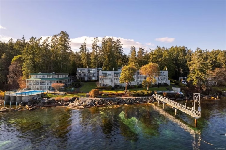
Boating: Occasional strong winds make Nicola Lake a popular place to go windsurfing and sailing. Boat launches are located at Monck Provincial Park, and on the southeast shore of Nicola Lake, halfway between Quilchena and Nicola Ranch. Nicola Lake is home to the Kamloops Sailing Association, which operates the Quilchena Sailing Centre on the lake, a facility with moorage, docking, and boat-storage facilities. Swimming is popular during the summer in Nicola Lake, and the Nicola River.
Windsurfing: Just north of the Douglas Lake Road turnoff is Kokanee Beach, a good spot for beginners, as prevailing winds usually blow towards the shore. Strong winds blow out into the centre of Nicola Lake at Snake Point, south of the Quilchena Sailing Centre on Highway 5A.
Cross-Country Skiing: The Kane Valley, about 11 miles (17 km) east of Merritt, has been a paradise destination for cross-country skiers for more than 30 years. Portions of the valley have been farmed since the 1890s and selectively logged since the 1960s. The more than 25 miles (40 km) of trails, some of them groomed, follow old roads and skid trails through open timber and across natural grassy slopes. These ski trails (beginner to intermediate) are accessible even during colder weather because they are sheltered from the winter wind.
In addition to cross-country skiing, the valley’s promise of a “lake a day as long as you stay” means that winter provides excellent snowshoeing, snowmobiling, ice-skating, and ice-fishing. Great snowmobiling locations are Helmer Lake Recreation Site, Thynne Mountain, and Stoyoma Mountain.
Canoeing and Kayaking is another popular outdoor activity in the Nicola Valley. The Merritt District Forestry Recreation Map (available locally or at Forest District offices) marks the following good paddling locations; Andys Lake, Billy Lake, Chain Lake West, Dewdney Lake, Lac le Jeune, Leroy Lake, Link Lake, Old Headley Road East, Old Headley Road West, Osprey Lake, and Pimainus Lake.
Mountain Biking: The many cross-country ski trails in the Kane Valley cover varied terrain and double as mountain-bike trails in summer. A branch line of the Kettle Valley Railway leads between Hope and Merritt, passing the Coquihalla Tunnels and Brookmere, a distance of about 87 miles (140 km). Due to washouts and the construction of the Coquihalla Highway, not all of the line is suitable for biking. One of the best places to begin is Coquihalla Canyon Provincial Recreation Area. Much of the railbed north to Brookmere is intact. For a detailed description of this route, consult Cycling the Kettle Valley Railway by Dan and Sandra Langford. Guided tours and bike rentals can be arranged in Lower Nicola.
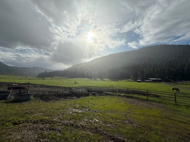
Horseback Riding: The open grassland around Merritt is a delight for those who like to trail ride. This is ranching country, home to the Douglas Lake Ranch, one of British Columbia’s oldest and largest working ranches. It lies east off Hwy 5A from the crossroads settlement of Quilchena. For information on horse-trail riding, contact the Douglas Lake Ranch, the Grant Ranches, or Winding River Ranch, all in the Merritt region.
Farm Guide: Travellers looking for a down-to-earth experience can find a list of resources and activities featured in the Kamloops Farm Fresh Guide. The guide showcases the diversity of life in the Thompson Nicola region, which ranges from wine tasting to guided family horseback rides on a working cattle ranch. Visitors can use the guide (available from Tourism Kamloops) to locate area farmer’s markets and fall fairs, discover fresh-picked fruit and vegetables, farm-raised meat and eggs, and value-added products like honey and jellies.
Circle Tours: See the best of the area on Okanagan and Kootenay Rockies Circle Tour. Travel the sunny interior of British Columbia, north through the Okanagan to Sicamous, following Highway 1 into the mountains of the BC Rockies. From Golden, head south through the Columbia Valley to Creston, and west through the Southern Okanagan, starting and ending your sun-drenched voyage in Osoyoos, the place where two lakes come together. Circle Tours in British Columbia.