For thousands of years First Nations people lived along the Fraser River, turning to the sea and the river for salmon and shellfish, the mainstay of their diet. The first non-Native settlers of this area were drawn to the fertile land of the river delta, made up of silt and sand deposited as the Fraser River slows to meet the sea.
In 1868 brothers William and Thomas Ladner preempted land on either side of Chilukthan. Like many other settlers who quickly acquired the rich land, they understood that the river and sloughs afforded convenient transportation routes when roads were non-existent or rudimentary.
In 1873 a wharf was built on property donated by William Ladner. Farmers loaded their agricultural produce and livestock onto steamboats for markets in Victoria, Nanaimo, New Westminster, and eventually Vancouver. The site became known as Ladner’s Landing, where a village grew up to serve the farmers. The settlers also took advantage of the area’s rich fishing resources. In salmon canneries on the banks of the river many of the workers were men of Chinese heritage, so a Chinatown developed nearby.
In 1879, the residents of Ladner joined with others in petitioning the provincial government to incorporate the new municipality of Delta. Today, Ladner residents respect the area’s natural and human heritage as part of building and maintaining a healthy community. Ladner, together with Tsawwassen to the south, is where the majority of Delta’s population resides. Ladner and Tsawwassen are the two communities that comprise the Lower Mainland area known as South Delta.
Population: 20,000
Location: Ladner is located on Highway 17 in the extreme southwest corner of mainland BC, 17 miles (27 km) south of Vancouver and 17 miles (27 km) west of White Rock and the border post at Peace Arch/Douglas. The nearest community is Tsawwassen, location of the ferry terminal for the ferry service to Vancouver Island and the Gulf Islands.
Learn the story of residents who bonded together to form a viable community on a Walking Tour of Ladner Village. Stroll down Delta Street, the main street in Ladner’s Landing in the 1890s, the days of wooden sidewalks built a foot or two above the ground to provide protection from the water and mud of the dirt road. View many of the heritage buildings, including St. Andrews Presbyterian Church (1890), Old Ladner Baptist Church (1903), and McKee House, built in 1895 and now a senior’s activity centre.
The Lower Mainland region is the traditional home of the Tsawwassen First Nation people, with their present-day 700-acre reserve located near the BC Ferry Terminal in Tsawwassen. The Tsawwassen People are one of 54 Coast Salish nations who traditionally inhabited this land for over 10,000 years.
Covering 10,000 acres east of Ladner is Burns Bog. Preserved by the Burns Bog Conservation Society, it is nicknamed the Lungs of Vancouver as the bog acts as a kind of biological filter, helping to clean the air over a wide area. The Society arranges tours through the trails and waterways of this important area, celebrating International Bog Day in July.
Discover the Delta Nature Reserve, located in the northeastern corner of Burns Bog, at the south end of the Alex Fraser Bridge. The 60-hectare reserve covers only 2% of the bog, and is the only part of Burns Bog that is protected. The nature reserve has three loops of boardwalks and trails. A 90-minute hike takes you past a beaver dam and through a spirea meadow and cedar grove. Along the way you’ll see stunted lodgepole pine, bracken fern, Labrador tea, bog laurel, skunk cabbage, and spaghum moss. Birders will be delighted by the many species of songbirds that visit the Bog and build their nests in the Delta Nature Reserve.
Of all the wildlife viewing areas in the Fraser Estuary, none surpasses the Reifel Migratory Bird Sanctuary. Located on the western fringe of the estuary in Delta, Reifel Island and its companion, Westham Island, provide wintering grounds for 230 species of birds. Many of these are nesting residents, such as Canada geese, ducks and teals, marsh hawks, coots, blackbirds, gulls, and doves. Some stay year-round, while others head north to their summer nesting grounds. For example, 20,000 snow geese, one of the largest birds at Reifel, winter here from October to March before heading to Wrangel Island (Ostrov Vrangelya), off the coast of northeastern Siberia. Fall and winter are the best seasons to visit the Reifel sanctuary, before the bird population begins to thin out. A simple network of trails leads around the island and connects with a series of blinds from where you look on in hushed silence as the birds go about their business. For a peek at the action from on high, seek out the 3-storey observation tower at the north end of the island. As you may find the breeze out here a touch chilly, the sanctuary thoughtfully provides a warm-up cabin next to the entrance, where a cheery fire blazes in colder months. For more information, contact the B.C. Waterfowl Society, which operates the sanctuary, 604-946-6980.
One of the best ways to get a feeling for the Fraser Estuary is from a small boat such as a canoe or kayak. Although the Fraser River powers its way through the estuary in three main channels, there are numerous backwaters where the current is not as strong nor the wakes from passing tugboats and freighters as intimidating. Try launching at Deas Slough and explore the nearby Ladner Marsh area. There are two approaches, one from Deas Island Regional Park and the other from the public boat launch at the north end of Ferry Road on the outskirts of Ladner. Both approaches are equally well suited to exploring Deas Slough. Deas Island Park lies 1.5 miles (2.5 km) east of the Hwy 99/Hwy 17 interchange. A small causeway links the island with River Road. Car-top boats can be launched at the east end of Deas Slough beside the Delta Rowing Club. From here, the entire length of the slough stretches before you, an open invitation to steal away. The varied terrain of the Vancouver, Coast and Mountain region of BC accommodates every outdoor recreation known to man.
The boat ramp on Ferry Road at the west end of Deas Slough is vehicle accessible. This is where anglers, water-skiers, jet boats, canoes, and kayaks launch. From here, Deas Island’s rocky-pointed snout is only a quick paddle away. The full girth of the Fraser River’s South Arm lies on the far side of Deas Island and should be paddled only at slack tide. During falling tides, currents in the Fraser can reach almost 7 miles (11 km) per hour, although you won’t experience these conditions in the backwater on Deas’ south side. The heart of the slough is equidistant from either Ferry Road or Deas Island Park. If you want to expand your journey beyond the slough, investigate the secluded channels of Ladner Marsh and the South Arm Marshes Wildlife Management Area that begins west of the Ferry Road boat launch and includes all of the delta between Deas and Westham Islands.
Deas Island Regional Park in Delta is interlaced with over 3 miles (5 km) of forested walking trails that run beside the Fraser River on the north side and Deas Slough on the south. Walk across the island to a small beach near the west end where the Fraser laps at the shoreline as large, oceangoing freighters glide past. The overwhelming girth of these vessels dwarfs those of the small fishing boats that also ply the Fraser. Eagles perch in the branches of the tall black cottonwood trees that overhang the trails. There’s even a 2-storey observation tower from which you can look out over the island at treetop level. Nearby is a lovingly restored heritage home, a schoolhouse, and an agricultural hall. Group camping is available at Muskrat Meadow. The setting is an open field in a forest. Up to 40 people can be accommodated here, and the location includes a fire ring, drinking water, a playing field, toilets, picnic tables, and a cookstove and fireplace.
An impressive stretch of dike trail runs beside Mud and Boundary Bays in Ladner. The Boundary Bay Regional Trail, which includes the East Delta Dike Trail, winds around both bays, skirting the mudflats that once extended much farther inland. Today’s dike is a much sturdier version than the crude ones built at the turn of the century. You can put in a full day cycling 12 miles (20 km) one way between the Surrey-Delta border and Boundary Bay Regional Park in Tsawwassen. There are always shorebirds to entertain you, and towards evening the sky around Mount Baker lights up in the southeast.
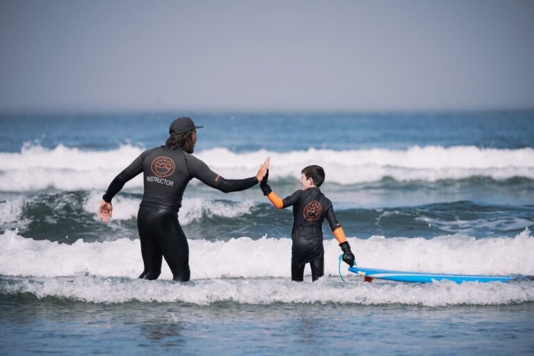
The sun, the wind, and the beautiful waters of Boundary Bay call the young at heart to experience the sheer exhilaration of Windsurfing. In Tsawwassen, on the south side of the BC Ferries causeway that carries travellers out to the ferry terminal, is a beach that attracts anglers and windsurfers. Best time to catch the breeze here is following a storm blowing from the south. Although this small bay empties at low tides, at other times you can rip out here. Take Hwy 17 south to the beginning of the causeway, then follow the service road that parallels the causeway. You’ll find portable toilets for changing and rough picnic spots where you can build a fire to dry out. For wind conditions, call Environment Canada, (900) 565-5555. Also in Tsawwassen is Boundary Bay Regional Park located on the east side of the isthmus. The winds can blow just as hard across its surface as out by the BC Ferries jetty. A good place to launch is the vehicle-accessible ramp at the east end of 1A Avenue via 67th Street, several blocks south of the park’s main entrance.
If it were summer year-round, Boundary Bay Regional Park might lose some of its seasonal appeal to migratory birds. The bay is one of the most important stops on the Pacific Flyway. Each spring and fall, more than 250,000 birds pass through the area—between 20,000 and 30,000 brant alone. Together with the sight of the annual salmon migration in the nearby Fraser River, this north-south passage is one of the most stimulating natural events in the region. Throughout the year, the Friends of Boundary Bay run numerous natural history interpretive programs in the vicinity of the bay and nearby Burns Bog. For more information and a brochure, telephone 604-940-1540.
A dike trail follows the perimeter of the bay from Boundary Bay Park east to Mud Bay. There are many good viewpoints for birding along the way. Drive to the south end of 64th or 72nd Avenue from Ladner Trunk Road, and walk up onto the dike from here. This is the Boundary Bay Regional Trail, all 12 miles (20 km) of which is public park. In winter, watch for snowy owls — they are often seen sitting motionless on fenceposts. Or a pair of oval-faced barn owls may fly overhead. There’s always magic at work on the shoreline and in the skies above Boundary Bay.
There aren’t many places in the world where you can swim between two countries with such ease as at Boundary Bay. A metal-scaffolded tower marks the place where the 49th parallel slices across the sandy beach. In summer, when the bay is a bathtub of sun-warmed seawater, you can make like a dolphin as you skip back and forth between Canada and the United States. When you’re ready to dry off, stroll the beach and experience the same thrill. Visitors can’t venture far into the United States. From the town of Point Roberts, Washington State’s portion of the beach — known locally as Maple Beach — peters out to rock and cobblestone as it nears an escarpment. Although there is public access to Maple Beach, almost the entire beach is privately owned. In summer, many swimmers gather near the border tower. The swimming is better here, especially at high tide when the bay fills to a greater depth than elsewhere. In 1792, the Spanish explorer Galiano named this Ensenada del Engaño, Mistake Bay, since he made the mistake of thinking there was a way inland from the end of the bay.
When a low tide drains Boundary Bay, its sandy bottom is as mottled as the moon. Little pools of seawater are trapped in sandy depressions and reflect the sky in an endless array of mirrors. Walk out and explore the expanse but be sure to keep an eye on the shoreline where you may have left your picnic basket. It’s easy to lose track of your spot unless you have a landmark such as a large umbrella or a distinctive piece of driftwood. The temptation is to stroll far out at low tide into the middle of the bay, where some of the most interesting wildlife features are revealed, either in the pools, beneath the sand, or on the shoreline. Thousands of birds—dunlin and sandpipers, herons and brants—follow the twice-daily rise and fall of the ocean as it rinses the bay. You can walk so far out into Boundary Bay that the vapour rising off the sand obscures the horizon and you feel very remote from land indeed. If you are here later in the day, sit back and watch the setting sun colour Mount Baker’s snow cone to the southeast, the most visible landmark on the horizon. Plan to be here in the days leading up to and immediately following the full moon, to watch it rise from behind the semi-dormant volcano. After dark, Boundary Bay Park is a great place to count stars. Although the park remains open throughout the night, if you plan to linger, make sure that you leave your vehicle outside the nearby park gates that close at dusk.
Neighbouring Ladner to the south is Tsawwassen, and the Tsawwassen Ferry Terminal. From here ferries cross the Strait of Georgia, bringing visitors to the Gulf Islands and Vancouver Island. Getting there is half the fun, as the route offers a spectacular journey over clear water and through beautiful islands. On a sunny day, take a stroll on the deck – you may see seals, killer whales or bald Eagles.
Golf: Ladner offers the challenging 9-hole Covelinks Golf Course on Admiral Boulevard, and there a few golfing options in the area. Delta offers the Sunshine Hills Golf Course, an 18-hole, par 54 (2,082 yards) public golf course on 64th Avenue, and Tsawwassen has 2 courses: Beach Grove Golf Club in the heart of sunny Tsawwassen is a par 71 championship golf course, playing 6,200 yards from the back tees. The tree-course offers well-groomed fairways and manicured greens. The clubhouse is a great venue for weddings, anniversaries, and business meetings, or just relaxing with friends; and Tsawwassen Golf & Country Club, a public 18-hole, par-65 golf course with practice areas that include a 22-stall covered driving range, putting green, chipping green, and sand trap.
Golf Vacations in British Columbia.
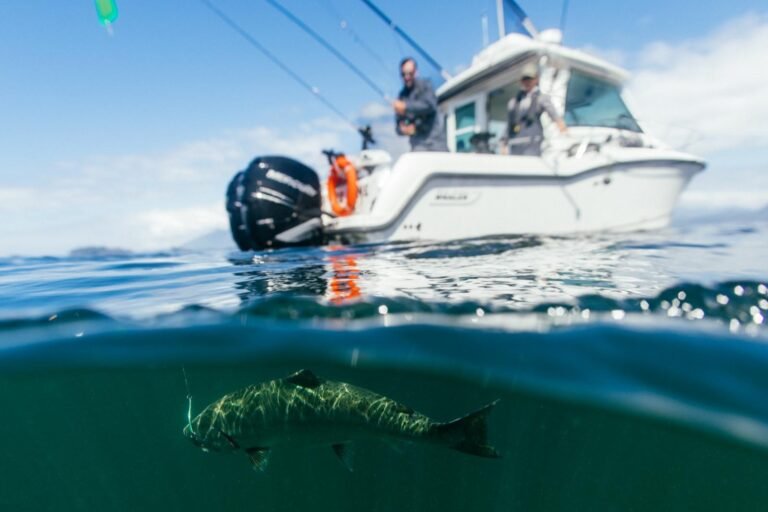
Anglers can catch salmon, trout, and numerous other species from the shores of Deas Island Regional Park. The Riverside picnic area is one of the most popular areas from which to fish. A Tidal Waters Sports Fishing License is required by all anglers and available at most fishing shops.
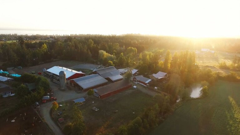
Many farms on Westham Island also feature fresh fruit, vegetables, and flowers from June to October. You can hand-pick berries, or purchase vegetables and fresh flowers from a number of roadside stands. Watch for Westham Island Herb Farm’s prominent sign soon after you begin your trip across Westham Island. The Ellis family has been farming on Kirkland Road since the turn of last century. Dried flowers, herbs, and vegetables are for sale from late May to early November.
Circle Tour: See the best of the area on a driving Circle Tour. Head north out of Vancouver for a scenic tour of the Sunshine Coast and Vancouver Island, or stay on the intensely scenic Sea to Sky Highway, passing through the magical winter resort town of Whistler and looping through the Coast Mountains. To explore the rural farmlands and forests of the fertile Fraser Valley, travel outbound on the scenic route north of the historic Fraser River, returning westwards along the Trans Canada Highway 1 to Vancouver.
Circle Tours in British Columbia.


