Premier Listings: Canoeing & Kayaking: Cariboo, Chilcotin, Coast
Inside Passage and Discovery Coast
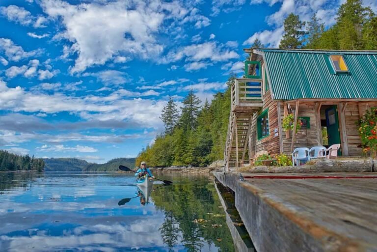
Many parts of the so-called Discovery Coast are relatively unknown to kayakers. It will appeal to resourceful paddlers who seek a sense of pioneering, which includes laying some groundwork, discovering new fishing spots, wildlife watching, dealing with unknown tidal currents, and finding new campsites. Canoes and kayaks can be rented by the day or week from Port Hardy, on Vancouver Island.
Approximately 80 miles (130 km) north of Port Hardy and 6.2 miles (10 km) west of Namu is the Hakai Luxvbalis Conservancy Area, British Columbia’s largest marine park and one of the better-known paddling areas. This 304,000-acre (123000-hectare) area encompasses a large archipelago of outstanding natural beauty and recreational value. From fully exposed shorelines to rolling, forested hills and 3,000-foot (1000-m) peaks, Hakai offers some of the most varied and scenic coastline in the province.
Special features such as lagoons and reversing tidal rapids, beaches, all-weather anchorages, tombolos, and an intricate network of coves, inlets, and channels make it an ideal area for boaters, anglers, scuba divers, naturalists – and experienced sea kayakers. Winds during the summer are usually westerly or southwesterly, and on sunny days are often light or nil in the early morning, pick up midday to late afternoon, then die down in the evening. They can be extremely strong in the coastal inlets such as Burke Channel.
One of the better areas to paddle within Hakai is Spider Anchorage, southeast of Spider Island, which consists of sheltered bays, white sand beaches, and a multitude of marine life. Another popular anchorage is Pruth Bay on the north side of Calvert Island, reached via Kwakshua Channel. The recreation area has no developed facilities and has wilderness campsites only. Freshwater is available at some beaches, but creeks dry up during summer, and visitors are advised to carry a supply.
Kayakers must be well prepared for poor weather and rough seas, which may occur at any time of the year. Fog can roll in very quickly, necessitating navigation by compass, and sea conditions can change from flat calm to 12- to 20-foot (4- to 6-m) seas within a matter of hours. The west coast of Calvert Island can be hazardous due to strong surf and should not be approached without knowledge of the locale, and then only under ideal conditions.
Kayakers wishing to explore this remote wilderness can access it by sea or by air. BC Ferries’ Queen of Chilliwack stops at Namu, the closest settlement. Hakai is located across Fitz Hugh Sound from Namu, a busy shipping route also frequented by Pacific white-sided dolphin. Fuel and groceries are available at Bella Bella, Namu, and Dawsons Landing (Rivers Inlet). Private or chartered boats can be arranged from Vancouver, Port Hardy, and Bella Coola. Chartered and scheduled flights are available from Vancouver, Port Hardy, Bella Bella, and Bella Coola.
Paddlers can enjoy the many small straits, exposed coastline, and islands accessible from the communities of Bella Bella and Denny Island (Shearwater), such as the Goose Group in the western reaches of the Hakai Provincial Recreation Area. There is good camping on the south end of Campbell Island as you make you way through Hunter Channel towards Goose. Be prepared to paddle 5 miles (8 km) through the open water in Queens Sound between Campbell and Goose, the largest by far of the five islands gathered here. At the north end of Goose Island is a pure white beach composed largely of pulverized clam shells that when walked upon with bare feet emit a squeak not unlike the squeal of a sneaker on a gymnasium floor. This is truly an enchanted island. Note: There is no freshwater in the Goose Group.
Paddlers can also disembark from the Queen of Chilliwack at Klemtu on Swindle Island, the ferry’s most northerly port of call. From Klemtu, it’s possible to paddle to Princess Royal Island, 7.5 km (12 km) farther north, home of the legendary Kermode or Spirit Bear. You can keep your fingers crossed for a sighting, but you’d be very lucky to spot one of these gorgeous blonds. The gaping fjords and inlets around Swindle and Princess Royal Islands are stunning, but be warned that campsites in this area are few and small, and by midsummer, most have a meagre water supply.
As in Hakai, paddlers here should be experienced and self-sufficient. Besides sea fog, strong currents represent a potential hazard. Crossings or exposed coasts can be dicey (with surf landings). High tides may make camping difficult, so try to schedule your trip for between full moons. Periodically strong outflow and inflow winds can be a problem in the steep-sided fjords. Because weather conditions can delay trips, give yourself plenty of time (and bring plenty of reading material).
Klemtu is also the staging area for trips to the Fiordland Conservancy, a 224,770-acre (9,100-hectare) paradise for sea kayakers approximately 60 miles (100 km) north of Bella Coola by air – a magical world of inlets, bays, islands, and fjords. Waterfalls and glaciers are set amid the passages of a complex coastline. Some of the mountains are thickly cloaked with old-growth Sitka spruce and coastal western hemlock forests; others are monolithic domes, exhibiting their bare granite faces. Located in the Kitimat Ranges of the Coast Mountains, Fiordland is an exceptionally scenic area, with rich estuaries at the base of sharply plunging glacier-topped mountains. Salmon spawn in the many coastal rivers and creeks.
The three primary inlets represented here – Mussel, Kynock, and Roscoe – are outstanding locations of provincial and international significance. There are a number of excellent beaches and interesting upland features, including glaciers, waterfalls, lakes, and rivers, along with wonderful hiking and wildlife-viewing opportunities. Sitka deer, salmon, and grizzlies have shared this magnificent area with the Heiltsuk people for centuries. Trapping, hunting, fishing, and other traditional food-gathering activities have richly sustained these people over the years. There are a number of archaeological sites located here, particularly along the shorelines.
Unfortunately for paddlers, campsites are few due to the steep topography of the area. As in other parts of the Central Coast, winds can pick up quickly, resulting in hazardous conditions for small vessels. The recreation area is an important habitat area for both black and grizzly bears, which can make travel on shore risky.
From Swindle Island, adventurous paddlers can plot a 50-mile (80-km), 10-day course south, rejoining the ferry at McLoughlin Bay. Head for the exposed west coast of Price Island, where you might see cruise ships passing in Laredo Sound. Again, campsites may be hard to find without exploring the many tiny bays behind the mass of rocky islets guarding the coastline.
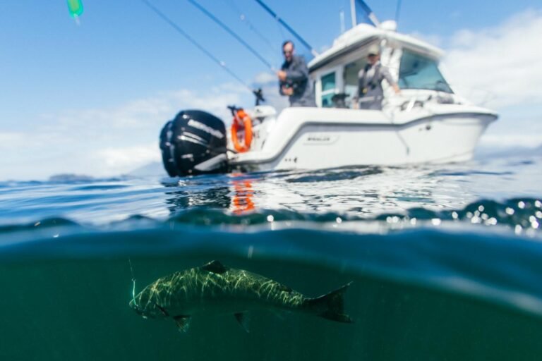
This jumble of bays and tiny islets is characteristic of the west side of Price Island. Stunted trees, blown landward by the winter storms all their lives, give evidence of the ferocity of the weather that routinely batters this coastline. The east coast of the island may give more shelter, but ferocious horseflies (they bite!) can be a nuisance. Fishing can be rewarding, as long as the halibut isn’t too big to land from a kayak. Vancouver Rock and Boulder Head, farther south, are both great spots for rock fish, red snapper, and halibut.
The tidal race through Gale Passage, between Athlone Island and Dufferin Island, can be very strong. Wait for the slack tide. A small cove at the southern tip of Athlone provides a jewel of a campsite – freshwater and a beach of small but smooth flat rocks, offering a sunrise and view south to Potts Island and Goose Island in the distance. From here, aim for a tiny island to the northeast of Cape Mark with a flashing navigational marker, the island itself unnamed on the chart. The island has a sandy beach, and mussels can be harvested off a low granite cliff, even if the crashing Pacific breakers make this a bit of a challenge. Rock crabs lured by fish heads make a gourmet feast, provided they’re of legal size.
Joassa Channel is not particularly attractive or significant: no enticing bays or beaches, just vegetation to the rocky edge. By comparison, Gale Passage is scenic and varied, and offers a choice of beaches for lunch and/or camping, albeit without freshwater. A big sheltered bay immediately to the east of Denniston Point may not offer much camping room at high tide but has a good source of freshwater. From here, it’s only a few miles to the ferry terminal just south of Bella Bella.
The Bella Coola Road (Highway 20)
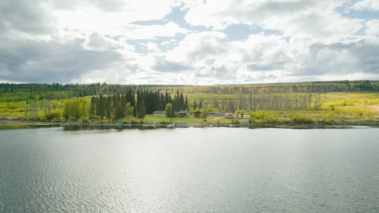
The vast wilderness area of Tweedsmuir Provincial Park can provide a special experience for the canoe enthusiast. Covering more than 2,450,000 acres (980,000 ha), the scenic chain of lakes connected by Hunlen Creek provides the opportunity for an enjoyable canoe trip of three to five days. Leading from Turner Lake to Sunshine Lake, a distance of about 17 miles (27.5 km) one way, this route enjoys calm water, beautiful scenery, good cutthroat trout fishing, sandy beaches, and wilderness camping. With the exception of 7-mile (11-km) Turner Lake, the lakes are small. There are six easy, short portages, the longest taking 30 minutes.
Although the canoe season begins in June, the best time to enjoy this delightful corner of Tweedsmuir Provincial Park is in September, once the first frost has brought an end to insect season. Other areas of the park, especially Eutusk and Pondosy Lakes can be canoed but the difficulty of access plus wind and water hazards make advance preparation with park official a necessity.
There is a overnight fee per party to be paid upon arrival in the park. As all supplies must be airlifted in from either Nimpo Lake or Bella Coola, advance arrangements are recommended, and canoes and other supplies can be rented if so required.