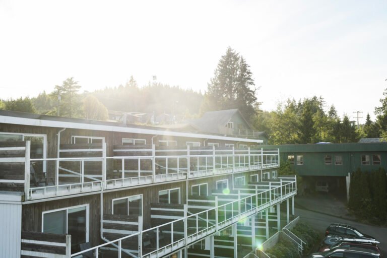
Premier Listings: Private Campgrounds & RV Parks: Kootenay Rockies
Crowsnest Highway 3 – The West Kootenays
The biggest provincial campground in this part of the West Kootenays is Kokanee Creek Provincial Park, about 12 miles (19 km) east of Nelson on Hwy 3A, on the north shore of the west arm of Kootenay Lake. The park offers vehicle/tent sites in two campgrounds, Sandspit and Redfish. Its extensive sandy beaches and delta area are backed by a gently rising upland, giving way to the forested slopes of the Slocan Range of the Selkirk Mountains. Open all year, Kokanee Creek has facilities that include hiking and ski trails, a visitor centre with displays, and a boat launch. Nearby is Kokanee Glacier Provincial Park, a mountain wilderness with an extensive trail system for day or longer hikes.
Champion Lakes Provincial Park is another large campground with vehicle/tent sites. Its three small lakes form the headwaters of Landis Creek, which flows northward to join Champion Creek, a tributary of the Columbia River. The lakes and Champion Creek are named for James W. Champion, an early settler and orchardist. Open June 1 to September 15, this 3,520-acre (1425-hectare) park offers excellent fishing for rainbow trout, two beaches, many miles of hiking trails, weekend interpretation programs, and an adventure playground. There are two car-top boat launches for paddle boats only. For those who like to get away from it all in a civilized fashion, a golf course can be reached in five minutes. Champion Lakes Provincial Park is just over 11 miles (18 km) northwest of Fruitvale (east of Trail), off Hwy 3B.
If you’re looking to stay awhile and want plenty of things to do, one of the largest provincial campgrounds in this area is Syringa Provincial Park, with vehicle/tent sites, all available on a first-come, first-served basis. Located about 12 miles (19 km) northwest of Castlegar off Hwy 6 and Hwy 3A, Syringa is on the east side of Lower Arrow Lake at the foot of the Norns Range of the Columbia Mountains. The lake is actually part of the Columbia River that was widened and deepened through construction of the Hugh Keenleyside Dam, a short distance downstream.
Across the lake from the park’s broad sand and gravel beach rises the Christina Range of the Monashee Mountains. The park is named for Syringa Creek, which flows into Lower Arrow Lake, near the park’s southern boundary. The ‘syringa,’ or mock orange, a shrub indigenous to the area, blooms in early spring and emits an enchanting bouquet as recognizable as an orange itself. Along with two boat ramps, hiking trails, an archaeological site, and outdoor nature displays, this park offers interpretive programs most afternoons and evenings.
In the small-but-pleasant category is Gladstone Provincial Park (formerly Texas Creek) on Christina Lake, which has informal campsites. The campsites are located in an open pine forest, giving pleasant shade from the summer sun. This waterfront park has many small pocket beaches, which provide splendid opportunities for solitude and privacy. Hiking trails lead north along the lakeshore. To reach the park, drive 6 miles (10 km) northeast of Christina Lake on Hwy 3, then 3.7 miles (6 km) to end of East Lake.
Farther east along Hwy 3, Nancy Greene Provincial Park is a popular overnight stop with parking-lot sites for RVs. It is a place to enjoy a cool night’s rest away from the heat in the valley, and you can often catch your supper of rainbow trout. This park and a nearby provincial recreation area are named after Canada’s world-famous Olympic skier Nancy Greene, who originated from the Rossland-Trail area. The setting of this park, which includes a subalpine lake encircled by a self-guided nature trail (powerboats are not allowed) is almost 22 miles (35 km) north of Rossland at the junction of Hwys 3 and 3B.
Less than 14 miles (22 km) east of Trail on Hwy 22A, Beaver Creek Provincial Park has vehicle/tent sites, a boat launch, and a picnic/day-use area. On the east side of the Columbia River near the US border, Beaver Creek offers an opportunity to observe the terraces formed by the retreating glaciers as the last great ice age waned. Fort Shepherd, a Hudson’s Bay Company trading post and stop along the Dewdney Trail, once stood nearby. Two archaeological sites are located in the park.
Lockhart Beach Provincial Park is a small, beautifully forested park on the east side of the south arm of Kootenay Lake. As well as a sandy beach, the park has a picnic/day-use area, a car-top boat launch, and vehicle/tent sites. A hiking trail runs along Lockhart Creek through a mixed forest of Douglas fir, western red cedar, and ponderosa pine. It’s about 35 miles (55 km) north of Creston on Hwy 3A. From the west, Hwy 3A connects across Kootenay Lake by ferry.
In addition to the provincial parks in this region, a number of smaller recreation sites are maintained by Recreation Sites and Trails BC, some of which permit camping.
Castlegar’s Pass Creek Regional Park has vehicle/tent sites and features swimming, hiking, and mountain biking. The park is located north of Castlegar off Hwy 3A.
Slocan Valley and Upper Arrow Lake
Mchttps://britishcolumbia.com/wp-content/uploads/2020/07/discovery-islands-lodge-1-accommodation-quadra-island-british-columbia-1.jpg Creek Provincial Park, 6 miles (10 km) southwest of Nakusp on Hwy 6, has vehicle/tent sites on both sides of Upper Arrow Lake. All campsites are first-come, first-served. From most of the campsites, campers have direct access to their ‘own’ beach.
For a great view of the Valhalla Range to the west, pitch your tent or park your camper at Rosebery Provincial Park. Situated on the banks of Wilson Creek on the east side of Slocan Lake near New Denver, Rosebery offers secluded camping in vehicle/tent sites. It is a good staging spot for backcountry exploration of Valhalla Provincial Park and Kokanee Glacier Provincial Park. You can also explore the numerous mining ghost towns nearby or visit the developed or undeveloped natural hot springs in the area. The park is located on Hwy 6 between New Denver and Nakusp, about 4 miles (6 km) southeast of Rosebery.
In addition to provincial campsites, there are number of recreation sites in the Arrow Forest District, maintained by the Recreations Sites and Trails BC, including several at Wilson Lake, directly east of Nakusp.
North Kootenay Lake and Selkirk Valley
North of Kaslo on Hwy 31 is Lost Ledge Provincial Park. Situated on Kootenay Lake, it features great fishing from the shore or by boat, as well as secluded campsites in the shade or right on the beach. This picturesque site is open mid-May to mid-September, with sites available on a first-come, first-served basis.
Another dozen campsites, albeit rustic ones, are located farther north at Davis Creek in Kootenay Lake Provincial Park, just south of Lardeau on the west side of Kootenay Lake. Campers can swim at this semi-primitive site, which also offers good fishing off the creek mouth.
Howser Glayco is a medium-sized recreation campsite on the west shore of Duncan Lake off Hwy 31 that has a good beach and a boat launch. Swimming, fishing, and windsurfing make it a popular place in summer. Unusual for a Forest Service site, it has handicapped-accessible facilities.
Entrance to the newly enlarged, massive, undeveloped Goat Range Provincial Park is from the old townsite of Gerrard at the southeastern end of Trout Lake, about 50 miles (80 km) north of Kaslo. A dozen campsites are located at Gerrard, an abandoned railroad town. From 1900 until World War II, Gerrard was the terminus of the Arrowhead & Kootenay line of the Canadian Pacific Railway.
The nearby Lardeau River once sustained an abundant stock of the world’s largest rainbow trout (up to 50 pounds/23 kg in size), now endangered to the point where fishing this river is restricted. One of the primary reasons for including Trout Lake (Gerrard) Provincial Park in Goat Range Provincial Park is to protect these fish, as well as to provide undisturbed habitat for the area’s bear, elk, deer, mountain caribou, and mountain goats.
Campgrounds & RV Parks
Information on Provincial Park Campgrounds and Reservations, National Park Campgrounds and Reservations, Camping on Crown Land in BC Recreation Sites, Frequently Asked Questions on Parks and Campgrounds, and Provincial Park User Fees. Go to Campgrounds & RV Parks.