The Lakes District of Northern British Columbia embraces over 300 wilderness fishing lakes and 3,000 miles of pristine lake shoreline. The vast water world of the Lakes District extends from the Stikine Mountains in the west to the Omineca Mountain Range in the east.
Bordered by Ootsa Lake in the south, the Lakes District extends north to the 177-kilometre long Babine Lake, the longest natural lake in BC, situated due north of Burns Lake and Houston.
If you appreciate stunning scenery, including breathtaking views of Tweedsmuir Park and Mount Wells, you can follow the Lakes District Circle Tour from Burns Lake south on Highway 35 to Francois Lake. Board the Omineca Princess for the free 20-minute ferry crossing of Francois Lake to Southbank, continuing south to Ootsa Lake before turning west on the Ootsa-Nadina Road, through Wistaria to the western tip of Francois Lake and the Nadina River. From here return east along the Colleymount Road, through Colleymount to Northbank, and back to Burns Lake.
Francois Lake Circle Tour is a loop tour starting in Burns Lake. Travel to Houston and turn off Highway 16 on to the Morice River FSR (to the sawmills). Follow the road along the Morice River, passing Owen Lake and enjoying beautiful views at Nadina Mountain. Turn left at kilometre 53 onto the Owen East FSR. At the junction, follow Colleymount Road along the north shore of Francois Lake through Colleymount to Northbank. Turn left onto Highway 35 to return to Burns Lake. The Francois Lake Circle Tour time is approximately 3-1/2 hours. Stay overnight in a cabin, or camp or park your RV at one of many recreation sites along the route: Aspen Rec Site, Owen Flats Rec Sites (2), Owen Lake Rec Site, West Francois Rec Site, Noralee West Rec site, Colleymount Rec Site, and McLure Pit Rec site. Francois Lake is gorgeous, with a wonderful view of the mountains of Tweedsmuir Park.
Burns Lake
The Heart of the Lakes District is Burns Lake, a vibrant and modern community on the Yellowhead Highway that has retained its pioneer spirit and small town charm. Burns Lake is the main service centre for the entire Lakes District. Forestry is the town’s main industry, followed by ranching and tourism, with the community actively ensuring the sustainable and balanced use of its forests for future generations. With almost twenty lakes in the immediate vicinity of Burns Lake, this diminutive freshwater fishing paradise is the place for sport fishing for cutthroat and rainbow trout, char, kokanee, lingcod and salmon.
Granisle
Surrounded by pristine beauty unique to this part of Canada, the friendly village of Granisle was originally built on the shore of beautiful Babine Lake to accommodate miners from the copper mine on Copper Island. Granisle is nestled on the western shore of central Babine Lake, and tourism is now one of the leading industries in the economy of Granisle.
Ootsa Lake
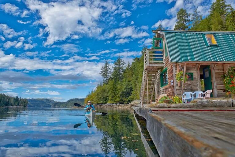
Ootsa Lake forms the northern boundary of Tweedsmuir Provincial Park. A gravel road runs along the north shore of Ootsa Lake, through ranches, farmlands and forests of aspen, spruce and pine trees. The great views and pretty scenery never end, and wildlife is plentiful. Fishing in Ootsa lake is excellent for large rainbow trout and lake char.
Tweedsmuir North Provincial Park
Tweedsmuir Provincial Park is the largest in the BC provincial park system. Divided into two by the Dean River, which acts as a natural boundary between the two sections of the park, North Tweedsmuir park is only accessible by air, water or foot. Burns Lake is the northern gateway to the untamed wilderness of Tweedsmuir Provincial Park, accessible by floatplane from Burns Lake, jet-boat from Ootsa Landing, or by foot or horseback via the Alexander MacKenzie Trail. Most of the huge, unpopulated northern half of Tweedsmuir is encircled by the lakes that comprise the Nechako Reservoir. Wilderness guides are available for horseback, canoe and backpack trips through the region.
Babine Lake Provincial Parks.
Babine Lake is the longest natural freshwater lake in British Columbia, at 177 kilometres from tip to tip.
There are four provincial parks located on the massive Babine Lake:
Babine Lake Marine Park (Pendleton Bay)
Babine Lake Marine Park (Smithers Landing)
Red Bluff Provincial Park
Topley Landing Provincial Park
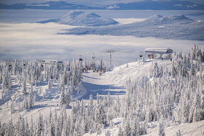
With over 300 lakes to choose from, the Lake District provides good fishing for some of the largest rainbow trout and lake char in BC. Kayakers and canoeists will enjoy the challenge of the four-day Nanika-Kidprice Canoe Route, a scenic wilderness route that links 5 lakes to the west of Tweedsmuir Provincial Park. Northern British Columbia enthralls visitors with its beauty, hospitality and vast open wilderness spaces accommodating every outdoor recreation known to man.
Location: The Lakes District is located in Northwest BC, in the area north and south of Yellowhead Highway 16, around the community of Burns Lake.
Circle Tours: See the best of Northern BC on one of the Circle Tours that capture the wonders of the north. The Circle Tour of Northern British Columbia incorporates the Alaska Highway through the Rocky Mountain foothills to Watson Lake in the Yukon, linking with the Stewart/Cassiar Highway and Yellowhead Highway 16 in the south. The Inside Passage Circle Tour and the Native Heritage Circle Tour follow the same route, from Port Hardy on Vancouver Island north by ferry to Prince Rupert. Catch another ferry to the Queen Charlotte Islands, or venture east on the Yellowhead Highway to Prince George, and south through the peaceful Cariboo to Vancouver along the historic Cariboo Wagon Road.
Circle Tours in British Columbia.