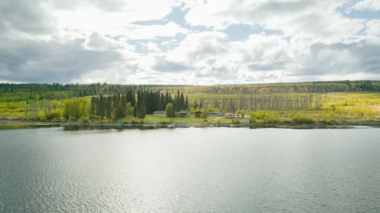
Nestled at the base of the Coast Mountain Range is the small seaside village of Lions Bay, located on the shoreline of Howe Sound on Highway 99, the Sea to Sky Highway.
Surrounded by majestic mountains, with spectacular views of the ocean and the Gulf Islands, Lions Bay offers dozens of mountain hiking trails, sandy beaches at Porteau Cove, several golf courses north of Lions Bay, and world-class skiing at Whistler Blackcomb.
Once a cottage community for Vancouver residents, the community of Lions Bay has numerous writers, artists and musicians, and offers visitors a marina, a small cafe, a general store, and an art gallery.
Of all the natural features in the Lower Mainland, none have greater visual presence than the famous twin peaks called the Lions (or the Two Sisters, as they are called by local Native peoples), that stand guard over the community. Geologists believe that these two peaks – the West Lion stands at 5,401 feet (1646 m) and the East Lion at 5,245 feet (1599 m) – are the remnants of a volcanic cone.
Population: 1,418
Location: Just 30 minutes north of Vancouver, Lions Bay is located on the eastern shoreline of Howe Sound on Highway 99, (the Sea to Sky Highway), between Horseshoe Bay and Britannia Beach.
North of Lions Bay is the National Historic Site of Britannia Beach, where visitors can explore BC’s fascinating mining history at the BC Museum of Mining. The mine boomed in the late 1920s and early 1930s, becoming the largest producer of copper in the British Empire. See how the Gold Rush affected the mine’s history, view rock and mineral displays, transportation methods, and artifacts from the past.
Golf: Furry Creek Golf and Country Club north of Lions Bay is considered the most scenic golf course in British Columbia. This 18-hole championship golf course perfectly captures the beauty of this coastline, with abundant wildlife, rugged mountains, and panoramic ocean views of the Squamish Inlet. Golf Vacations in Whistler and Golf Vacations in an around Vancouver.
Skiing: Whistler Blackcomb Ski Resort has the largest ski area on the continent: over 28,000 hectares (just over 7,000 acres) of skiing area, with over 200 marked trails and 12 massive Alpine bowls. Skiing & Winter Activities in the Sea to Sky area and Helicopter Skiing in Whistler.
Kayaking: When flat-calm, Howe Sound is an inviting place to paddle, but beware the outflow winds that build on summer days. The Sound is a channel for winds drawn out to the ocean from cooler inland regions. Kayakers will have an easier time of it than canoeists when the winds rise. It’s worth heading offshore to enjoy the views of the Howe Sound Crest and Britannia ranges that are not revealed from land. The 1.2-mile (2-km) paddle north from Porteau Cove to Furry Creek is a pleasant workout. Watch for pictographs painted on the rock face on the north side of the small bay just past Furry Creek.
For an extended trip, launch from Lions Bay Marina and head 3 miles (5 km) across Howe Sound to nearby Gambier Island. Tucked away from view just inside its sheltered southeast corner is Halkett Bay Marine Park. A government wharf lies at the end of the bay where a thick fringe of hemlock and second-growth fir shield the shoreline from view. If you walk into the shade of the trees, you’ll discover a series of clearings linked by old logging trails that have assumed the character of sedate laneways. You could camp here where there are several formal sites or on a small island just offshore in the bay. The island boasts a small beach, above which stands a clearing large enough for one tent. While on Gambier, follow the old logging road that terminates beside the campsites at Halkett Bay west to Camp Fircom, a half-hour walk. At first the road leads through the forest, but it descends to the shoreline as it nears the camp, with a pleasing view south of Bowen Island’s Hood Point.
Hiking: There are two main approaches to The Lions, both of which require a strenuous hike. As the route from the Cypress Provincial Park trailhead begins at a 3,000-foot (980-m) elevation, it’s not as vertically challenging as the approach from sea level at Lions Bay. However, it is lengthier (6 miles/10 km one way from Cypress, 5 miles/8 km from Lions Bay). When you put your body to a test like this, you’re thankful for every little energy-saving shortcut you can find. The optimum time to do this hike is in late summer or early fall. Not only will the weather favour you but also you’ll be blessed with better views as the broadleaf maples begin to shed their foliage. Budget four hours to climb from the trailhead in Lions Bay to the ridge below the West Lion.
Passing through Lions Bay, travellers get a glimpse of the West Lion from Hwy 99 as the highway crosses Harvey Creek. Finding your way to the trailhead is a challenge in itself. Take the Oceanview entrance to Lions Bay from Hwy 99. Follow the signs pointing left towards the convenience store. Turn right on Centre, left on Bayview, left on Mountain Drive, and finally left again on Sunset. As you climb through the neighbourhood you’ll pass the elementary school, next to which is a parking lot. If you arrive at the trailhead and find that all parking spaces there have been taken, you can park at this overflow lot, but before descending back to the school, check to see if there is any space on Sunset south of Mountain Drive. If there is, you will save yourself an extra 10 minutes each way.
Don’t let the overall challenge of reaching the Lions deter you. Perhaps all you’ll wish to experience are the viewpoints that appear at intervals for the first 2 miles (3 km). Several stone arrows point the way at important junctions as you follow first an old logging road, and then the orange and silver metal markers affixed to the sides of trees as you ascend a narrow hiking trail. Horseshoe Bay is surprisingly close, while modest-sized Bowyer Island lies offshore. Along the way are several sturdy old-growth Douglas fir trees on the steep slope bordering the trail. Rudimentary wooden steps assist hikers across a tricky section near Harvey Creek. The best time to cross the creek is in late summer, when it’s at its lowest point; during rainy spells, crossing the rushing waters can be perilous. The boulders in the creek are popular spots on which to sunbathe and catch your breath. (Note: Harvey Creek provides water for the Lions Bay community, so please be extremely careful not to pollute it in any way.)
Massive old-growth forest surrounds the trail as it climbs above Harvey Creek, and you head towards the best viewpoint yet of Howe Sound. Now all of Gambier Island is revealed, as is the nest of smaller islands between Bowen and the Sunshine Coast. Footing becomes trickier as you hop from boulder to boulder up the last incline to the ridge, where a better path establishes itself and you can walk at a more leisurely pace. In late summer the narrow gullies are filled with a low ground cover of heather turning a burnt red and blueberries.
The Howe Sound Crest Trail begins in Cypress Provincial Park in North Vancouver and runs almost 18 miles (30 km) across ridges and mountains – including the Lions – while skirting pocket lakes to reach the shores of Howe Sound near Porteau Cove. Phew! Without a doubt this is the way to see as much of Howe Sound as any hiker could wish, but it comes with a price tag: a real grunt. Then again, so are most hikes on the slopes of Howe Sound. There are few breaks in this demanding climb (and punishing descent), and often you can’t see the ocean for the trees. When you do, all else is momentarily put aside. The northern terminus of the Howe Sound Crest Trail is at Hwy 99, 6.7 miles (11 km) north of Lions Bay. There’s a pullout on the west side of the road where you can leave your vehicle.
The Deeks Lake Trail (strenuous; 8 mile/13 km return; 3-4 hours each way) leads hikers up a steep rock-and-roots trail that passes through lush evergreen forest. The occasional stream or waterfall provides cool encouragement to overheated brows (and other body parts). Deeks Lake is skin-tighteningly frigid, year-round. If you don’t exist on a daily regime of cold showers, you needn’t pack your bathing suit. What it lacks in heat, it makes up for in passion. This is a sublime location, far above the hum of traffic. You’ll want to linger as long as possible, as much to revel in the landscape as to put off the inevitable descent. There are two trailheads from which this hike can begin, both located along Hwy 99 north of Lions Bay. The more scenic route begins about 4 miles (6 m) north of Lions Bay, where Deeks Creek empties into Howe Sound. Watch for a pullout on the west side of the highway. If you miss it heading north, drive on and then double back when possible. The trail, indicated by orange metal markers, begins beside the creek. An alternative route is from the Howe Sound Crest Trail’s northern terminus located beside Hwy 99, about 3 miles (5 km) north of Deeks Creek. A large wooden kiosk marks this approach.
For climbers (and those who cheer them on) there’s a provincial campground at the base of Stawamus Chief Mountain near Squamish, north of Lions bay. You’ll find spiffy drive-in and walk-in sites in Stawamus Chief Provincial Park. The forested campground is located at the south end of a rough road that hugs the base of the mountain. The varied terrain of the Vancouver, Coast and Mountains region of BC accommodates every outdoor recreation known to man.
At Shannon Falls Provincial Park, north of Lions Bay, visitors will find the park’s namesake, BC’s third-highest waterfall. Shannon Falls is a magnificent cascade that drops over 1,000 feet, right above the Sea to Sky Highway. A stop for naturalists during warmer seasons, Shannon Falls also attracts thrill-seeking ice climbers, who scale the falls when it freezes in the winter.
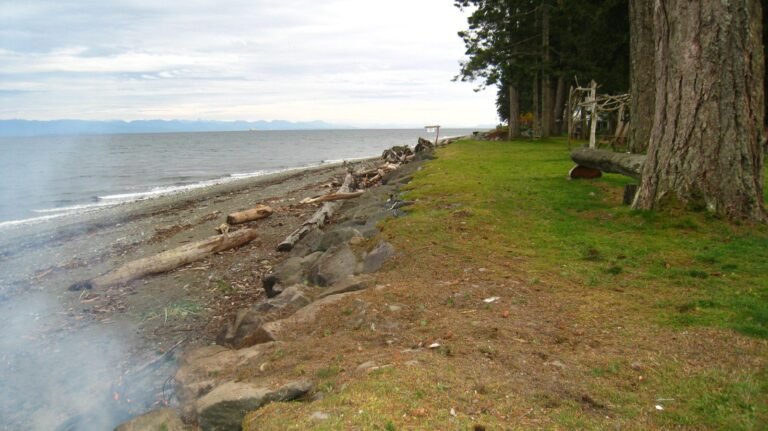
Porteau Cove Provincial Park provides great scuba diving, with over 100 marine species to be viewed. The Porteau Cove jetty is a wonderful place to enjoy the spectacular views of Howe Sound while watching wet-suited divers enter or emerge from the cold waters of the Sound. Eat your picnic at one of the numerous tables spread around the broad, driftwood-littered beaches on both sides of the jetty. The park also provides a provincial campground.
The boat launch at Porteau Cove is the only public one accessible from Hwy 99 between Horseshoe Bay and Squamish. There is a private boat launch at Sunset Marina, 3 miles (5 km) north of Horseshoe Bay at Sunset Beach, and at Lions Bay Marina, 3 miles (5 km) north of Sunset Beach.
Cypress Provincial Park in the snow capped North Shore Mountains is a haven for all outdoor recreationists, and is one of the most popular year-round parks in B.C. Located just north of Horseshoe bay on Highway 99, the park encompasses several pristine mountain lakes, rugged snow capped peaks and forests of fir, hemlock and yellow cypress. Cypress provides excellent wildlife-viewing opportunities, and as always in wilderness areas, hikers should be alert for wild animals, especially bears.
South of Lions Bay is the quaint and picturesque seaside village of and ferry terminal of Horseshoe Bay, the gateway to Howe Sound, the Sunshine Coast and central Vancouver Island.
North of Lions Bay, at the head of Howe Sound and surrounded by mountains, Squamish is cradled in natural beauty as only a West Coast community can be. Growing in fame as the Outdoor Recreation Capital of Canada, visitors will discover the abundance of attractions, activities and opportunities to explore in the community of Squamish.
Circle Tours: See the best of the area on a driving Circle Tour. Head north out of Vancouver for the scenic Sunshine Coast and Vancouver Island Circle Tour, or stay on the intensely scenic Sea to Sky Highway, passing through the magical winter resort town of Whistler and Coast Mountains Circle Tour. To explore the rural farmlands and forests of the fertile Fraser Valley, take the Fraser Valley Circle Tour, travelling outbound on the scenic route north of the historic Fraser River, returning westwards along the Trans Canada Highway 1 to Vancouver. Circle Tours in British Columbia.


