Kootenay Lake, the largest natural lake in southern British Columbia, is cradled within the Selkirk Mountains and bordered by the Purcells to the east.
Kootenay Lake is shaped like a bow and arrow, with the Main Lake (63 miles/100 km long in the North-South direction) being the bow, and the West Arm (21 miles/34 km long in a westerly and southwesterly direction from Balfour to Nelson) being the arrow.
The Main Lake is broad and deep with the potential for substantial waves in a storm. The West Arm is situated entirely within the Selkirk Mountains, and is narrower and shallow, providing a more sheltered and pastoral visit, better beaches than the Main Lake, and a higher density of resorts and other facilities.
Four parallel mountain ranges, running in the north-south direction, march across the southeastern BC landscape. The most westerly are the Monashees, followed by the rugged Selkirks, defined on their western flank by the Arrow Lakes, and on the east by the spectacular waters of Kootenay Lake.
Formed at an elevation of 1,736 feet (530 metres) above sea level during the Ice Ages, Kootenay Lake is fed by the Kootenay River from the south, the Duncan River from the north, and numerous creeks. The Main Lake is 5 miles (8 km) across at its widest point, with an average width of 2.5 miles (4 km).
The Kootenay Lake area is the traditional territory of the Ktunaxa people, who have hunted, fished and gathered in this valley for thousands of years. There are 7 bands in the Ktunaxa Nation, 5 of which are Canadian and located in British Columbia.
The many parks and wilderness areas sprinkled about Kootenay Lake mean the area is a fabulous natural playground. Backroads and mountain trails provide access to exceptional hiking and biking, and the clean freshwater lake offers excellent fishing, canoeing, kayaking, and other watersports. Various lodges, resorts and campgrounds with full facilities are located on the shores of the lake.
Kootenay Lake provides a scenic ferry trip between Balfour on the west shore and Crawford Bay on the east shore. The two-hour round-trip is the world’s longest free ferry ride, served by the MV Balfour and MV Osprey.
Location: Kootenay Lake is located in the Kootenays region of BC. The northwest and southeast shorelines of Kootenay Lake are accessed by winding roads that hug the shoreline, as is the north shore of the West Arm of Kootenay Lake. Other areas of the lake are accessible by boat only.
The following communities are located on or near Kootenay Lake:
West Arm of Kootenay Lake
Nelson: Nelson is one of the prettiest towns in British Columbia, located in one of the most beautiful settings; a place where life is unhurried and people say hello to visitors. Over 350 lovingly restored turn-of-the-century heritage buildings and facades, breathtaking views and personable citizens make this city a little oasis of genuine civility.
Balfour: A pretty little village on the north shore of the West Arm of Kootenay Lake, at the junction of the lake’s North, South and West arms. Balfour serves as the western ferry terminal for the ferry route across Kootenay Lake to Kootenay Bay on the east shore of the lake.
Located between Nelson and Balfour are the small communities of Willow Point, Crescent Bay, Longbeach, Harop, and Proctor.
West Shore of Kootenay Lake
Ainsworth Hot Springs: The tiny village of Ainsworth Hot Springs is the location of natural hot springs at the Ainsworth Hot Springs Resort, an exhilarating experience for those looking to relax.
Mirror Lake: Nature has blessed the small lakeside community of Mirror Lake with a unique combination of a small warm water swimming lake, the picturesque Kootenay Lake, and the towering Selkirk and Purcell Mountains that envelope Mirror Lake.
Kaslo: The quaint little hamlet of Kaslo enjoys the distinction of being called British Columbia’s Prettiest Town and the Switzerland of the Americas. Elegant Victorian era buildings, tree-lined streets and magnificent lake and mountain views give credence to these titles.
Also located on or near the northwest shoreline are the small communities of Queens Bay, Shutty Beach, Lardeau, and Cooper Creek. On the southwest shore of Kootenay Lake is Drewry, and the 24-hectare Drewry Point Provincial Park, located 20 miles (32 km) south of Balfour and accessed by boat only.
East Shore of Kootenay Lake
Riondel: A small retirement village offering breathtaking views overlooking Kootenay Lake, the neighbouring mountains and Kokanee Glacier, a great sandy beach, abundant hiking trails and good fishing.
Kootenay Bay: The small lakeside resort community of Kootenay Bay serves as the eastern terminal of the Kootenay Lake ferry, connecting with Balfour on the western shore.
Crawford Bay: The peace and quiet of Kootenay Lake affords visitors to Crawford Bay a wonderful escape from city life, and plenty of opportunities for a variety of water related activities.
Gray Creek: The small community of Gray Creek was once a landing and supply centre for steamboats plying Kootenay Lake in the early nineteenth century.
Boswell: The small lakeside resort town of Boswell is located south of Lockhart Beach Park.
Also located along the eastern shoreline of Kootenay Lake are the small communities of Argenta and Johnson Landing on the northeast shore, and Sanca, and Kuskonook on the southeast lakeshore.
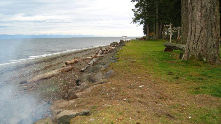
Beaches: Kootenay Lake has some nice beaches; among them are those at Kokanee Creek Provincial Park and Lockhart Beach Provincial Park. There is also a beach (and boat ramp) at Kuskonnok Rest Area, on the east side of Kootenay Lake, 15 miles (25 km) north of Creston on Hwy 3A.
Kokanee Creek Provincial Park is the biggest provincial campground in this part of the West Kootenays, located about 12 miles (19 km) east of Nelson on Hwy 3A, on the north shore of the west arm of Kootenay Lake. The park offers 112 vehicle/tent sites in two campgrounds, Sandspit and Redfish. Its extensive sandy beaches and delta area are backed by a gently rising upland, giving way to the forested slopes of the Slocan Range of the Selkirk Mountains. Open all year, Kokanee Creek has facilities that include hiking and ski trails, a visitor centre with displays, and a boat launch. Nearby is Kokanee Glacier Provincial Park, a mountain wilderness with an extensive trail system for day or longer hikes.
Lockhart Beach Provincial Park is a small, beautifully forested park on the east side of the south arm of Kootenay Lake. As well as a sandy beach, the park has a picnic/day-use area, a car-top boat launch, and 13 vehicle/tent sites. A hiking trail runs along Lockhart Creek through a mixed forest of Douglas fir, western red cedar, and ponderosa pine. It’s about 35 miles (55 km) north of Creston on Hwy 3A. From the west, Hwy 3A connects across Kootenay Lake by ferry.
Fry Creek Canyon Provincial Recreation Area is a wilderness area on the western slopes of the Purcell Mountains above the north arm of Kootenay Lake. From Argenta, a rough road leads south 7 miles (12 km) to Johnson’s Landing, from where the recreation area can be reached via a 2.5-mile (4-km) trail. Besides wilderness campsites, Fry Creek Canyon has over 6 miles (10 km) of hiking trails. Splendid views of the canyon and surrounding peaks from an old miners’ trail along the creek provide photographers with subjects aplenty.
Campbell Bay Provincial Park is one of the newer parks in the provincial system, located on east shore of Kootenay Lake, northeast of Kaslo.
West Arm Provincial Park encompasses a diverse range of habitats, from lakeshore to subalpine, high-elevation forests and alpine areas. The park extends along the shore of Kootenay Lake, from Nelson to Harrop and up to the peaks behind, and features old-growth forests that provide internationally significant habitat for grizzly bear and other endangered species, and for a mountain caribou recovery program.
North of Kaslo on Hwy 31 is Lost Ledge Provincial Park. Situated on Kootenay Lake, it features great fishing from the shore or by boat, as well as secluded campsites in the shade or right on the beach. Another dozen campsites, albeit rustic ones, are located farther north at Davis Creek in Kootenay Lake Provincial Park, just south of Lardeau on the west side of Kootenay Lake. Campers can swim at this semiprimitive site, which also offers good fishing off the creek mouth.
Canoeing & Kayaking: The rocky shores of Kootenay Lake are broken by numerous creeks and encompass hundreds of tiny bays and beaches providing hundreds of miles of shoreline that are great to explore by kayak or canoe. If you’re lured to spend more than a day on the water, tackle the three-day, 30-mile (50-km) paddle from Procter, near Nelson, to Kuskanook on the south arm of Kootenay Lake. There are dispersed camping locations at pocket beaches and creek mouths, as well as formal campsites provided by BC Parks and Recreation Sites and Trails BC (formerly maintained by the BC Forest Service). Among these are Irvine Creek and Wilson Creek Forest Service Recreation Sites, and Drewry Point and Midge Creek Provincial Parks, all of which are marine access only. The lake can be windy, so an early-morning start is strongly recommended.
Golf: Golfers have a number of golf courses to choose from around Kootenay Lake, including the magnificent Balfour Golf Course and Eagle View Golf Course in Balfour, Kaslo Golf Club in Kaslo, Riondel Golf Club in Riondel, and the 18-hole championship Kokanee Springs Golf Resort in Crawford Bay. At the western tip of the West Arm of Kootenay Lake, in the city of Nelson, is the 18-hole Granite Pointe Golf Club. The mountain and lake views on these courses are simply stunning.
Golf Vacations in British Columbia.
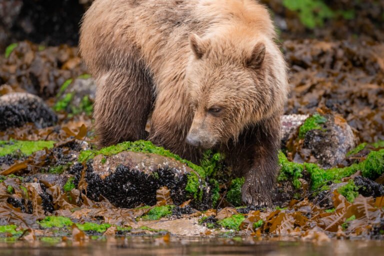
Wildlife: The area around Kootenay Lake is largely wilderness, where wildlife that could be encountered includes deer, elk, moose, black bears, mountain goats, cougar, and coyotes. Wetlands at Crawford Bay and the north and south ends of Kootenay Lake provide habitat for over migrating and nesting birds, including swans and pelicans.
The 7,000-hectare Creston Valley Wildlife Management Area is a large expanse of preserved wetland where up to 250 species of upland birds and waterfowl nest. A major stopover for migrating Tundra Swans, the area has the third largest population density of Osprey in Canada, the only nesting population of Forster’s terns in British Columbia, and the largest breeding population of Wood Ducks in BC. Guided walks and canoe tours are available for anyone who appreciates nature.
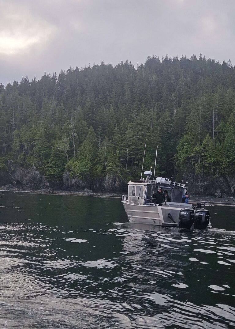
Fishing: It’s hard to escape fish in this area of the West Kootenays. It seems that wherever there’s water – whether lake, creek, or river – there is fishing. Kokanee Creek and Kootenay Lake maintain considerable populations of various fish species, including kokanee, rainbow and cutthroat trout, dolly varden, burbot, and whitefish. Kootenay Lake supports record-sized rainbow trout. “Kokanee” means “red fish” in the Kootenay Indian language and is the name given to the land-locked salmon that spawn in large numbers in Kokanee Creek in the late summer. Rainbow trout are plentiful in Lockhart Creek on the east side of the south arm of Kootenay Lake.
In what must be one of the classic fisheries blunders, early this century fisheries officers at Gerrard erected a fence and trapping facility facing upstream to capture eggs from the mammoth Lardeau River rainbow trout, hoping to introduce these fish to other river and lake systems. Assuming that the fish dropped down from Trout Lake, they were dismayed to find fish accumulating on the downstream side of the fence in the spring of 1914. The fish were from Kootenay Lake.
Realizing their mistake, they developed an elaborate technique to catch the fish. Eggs were reared at Gerrard, Nelson, Kaslo, Lardeau, Argenta, and more distant British Columbia and US hatcheries. After 1939, most of them were not released to the Lardeau River, with the result that the population began to decline seriously. By the 1950s, the Gerrard run had been reduced to fewer than 50 fish! In spite of the fact that their fry had been released in other systems, they attained their maximum growth only in their original habitat at Gerrard. Heavy fishing pressure and logging activity were also major factors in the rapidly diminishing numbers of these spectacular rainbow trout.
To protect these fish today, the Lardeau River and associated tributary waters are permanently closed to fishing. The north end of Kootenay Lake is also closed from February through June to protect both upstream migrants and spawned-out downstreamers. However, fishing for char, burbot, and rainbow trout is possible on the aptly named Trout Lake, reached from the boat launch at the Gerrard campsite or the one at Trout Lake City, at the opposite end of this narrow, 17-mile (28-km) lake.


