Situated at Mile 300 on the Alaska Highway, Fort Nelson is a major town and stopover destination for travellers leaving British Columbia for the Yukon and Alaska beyond.
Fort Nelson is located at the junction of the Muskwa, Prophet, and Sikanni Chief Rivers, which meet to create the Fort Nelson River. Named after Admiral Nelson, the original settlement in Fort Nelson was a North West Company fur trading post, established in 1805.
Fort Nelson’s economy was once based on the fur trade, but the modern thriving community of today relies heavily on lumber and natural gas as the mainstay of its economy, with an increasing emphasis on transportation and tourism.
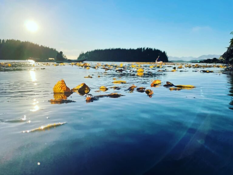
It is almost impossible not to observe wildlife as you travel through the Northeast, the so-called Serengeti of North America. The area’s spectacular wildlife fauna consists of eight species of ungulates, namely Stone Sheep, mountain goats, bison, moose, elk, caribou, and white-tailed and mule deer; plus at least seven species of medium-sized carnivores including wolves, coyotes, foxes, grizzly bears, black bears, lynx and wolverines.
Deer, moose, bears, and elk frequent clearings alongside roads, foraging for food. In some areas, salt licks have been placed near the road to attract ungulates. Be careful when driving these roads, especially at night; if you were to hit a moose, the chances are good that your vehicle would come out of the encounter in worse shape than the moose. Honest.
Back when the Alaska Highway was still a gravel road, the small roadside stations were the essence of life and travel along this long and lonely highway, and they still remain invaluable to the weary traveller today.
Fort Nelson epitomizes the small town community spirit and legendary hospitality of the North, both from its everyday welcome to you, and through its much appreciated Welcome Visitor program, offered several evenings a week during the summer.
Fort Nelson sits at the gateway to the immense wilderness of the Rocky Mountains, the Yukon, Northwest Territories and Alaska, and is fast becoming known as an eco-adventure destination, offering the true outdoor enthusiast some of the most pristine areas in this part of the province.
Population: 4,871
Location: Fort Nelson is located in the northeast corner of the province on the Alaska Highway 97, 242 miles (387 km) northeast of Fort St. John. Located in the lee of the Rocky Mountains, Fort Nelson is surrounded by the Muskwa, Fort Nelson and Prophet Rivers.
Pioneer artifacts, full-length animal displays and a display on the Alaska Highway construction can be viewed at the Fort Nelson Heritage Museum, located across the Alaska Highway from the Recreation Centre.
Be sure to stop at BC’s most northern traffic light, a pedestrian crossing on the Alaska Highway.
The Muskwa Bridge, south of Fort Nelson at Mile 281, is the lowest point on the Alaska Highway, at 1,000 feet. The Summit at Mile 374 is the highest point on the highway, at 4,250 feet.
The Contract Creek Bridge at Mile 588 on the Alaska Highway marks the point where the construction crews met when building the section of the highway west from Fort Nelson and east from Whitehorse.
Enjoy the views of the Muskwa River Valley and the Rocky Mountains from the summit of Steamboat Mountain (3,500 feet), at Mile 334, named because of its resemblance to a steamship.
Take a summer dip in the lake at Andy Bailey Regional Park, a popular playground for locals all year round. Vehicle/tent campsites are offered in the park, accessed by a 12-km gravel road off the Alaska Highway, 27 km south of Fort Nelson. In winter, break out the cross-country skis or the toboggan, as the area has some of the driest, fluffiest powder snow in the province, and there’s hardly anyone to share it with. Cut your own track here!
Provincial Parks: There are several provincial parks in the Northern Rockies Regional District, including Stone Mountain Provincial Park, Muncho Lake Provincial Park and Liard River Hot Springs Provincial Park. Wildlife is found in abundance in this scenic region, with many close and frequent sightings of elk, moose, and bears. Bald eagles soar up above, while goshawks, great horned owls and peregrine falcons are also sighted.
One of the most exposed campgrounds in the province, and also one of the most beautifully situated, is the Summit Lake Provincial Campground in Stone Mountain Provincial Park, 140 km west of Fort Nelson. All sites sit within open view of each other, the highway, and the surrounding smooth summits of the Stone Mountain Range. Much of the park lies in the alpine tundra biogeoclimatic zone, which means that trees are scarce and mountains of solid rock reach skyward.
Surviving plant life is pretty much limited to lichen, grasses and moss. The contrast with the rolling, tree-covered foothills further south is startling. The campground is located just north of the highest point on elevation on the highway, and also just north of one of the last remaining sections of unpaved highways. If travelling north, this is a good place to pull out and relax. If you’re here around sunset, the sight of the Stone Mountains reflected on Summit Lake’s surface is mesmerizing. Hikers can plan a 7 to 14 day loop through the headwaters of Machttps://britishcolumbia.com/wp-content/uploads/2020/07/discovery-islands-lodge-1-accommodation-quadra-island-british-columbia-1.jpg Creek and the adjacent Wokkpash Recreational Area.
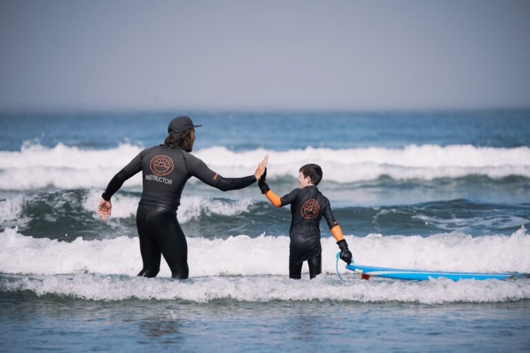
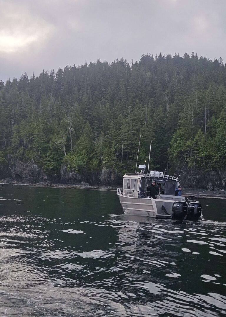
Outdoor Adventure: An endless choice of activities takes you away from the rush of modern living. The area is a world-class destination for wildlife viewing, photography, backpacking, wilderness canoeing and kayaking, trail riding, river boating and a myriad of other outdoor activities. And the Fort Nelson region is famous for specialty tourism markets such as fly-in fishing, offering some of the most spectacular scenery and abundance of wildlife in North America.
Kwadacha Wilderness Provincial Park is the jewel of this area. There are so many truly immense wilderness areas in northern British Columbia, that at 158,000 hectares, Kwadacha seems modest compared to Spatsizi Plateau, Mount Edziza or Tweedsmuir. However, this park’s Lloyd George Icefield is the largest icefield in the Rocky Mountains north of the 54th parallel. There is no access by road into the park; it must be reached by air or on horseback. It’s about 150 km of backpacking just to make it to the park from the highway, with many treacherous river crossings: allow 12 to 14 days. Trails within this park are not maintained, and only experienced backpackers should venture here. This is beautiful but unforgiving country.
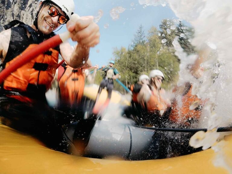
Canoeists can put in at Fort Nelson and paddle. Or if you’re looking for an unforgettable wilderness adventure with stunning scenery, moderate white water and a land teeming with wildlife why not try a rafting expedition.
Visit the Liard Hot Springs, where you can enjoy a year-round soak in a natural setting and where one of the world’s unique ecosystems thrives.
Hiking: See some of the most beautiful and awe-inspiring terrain in the world on one of the many hikes right off the Alaska Highway or trek into the back country with one of the region’s experienced guides. These back country hosts offer safe, quality packaged experienes on horseback, river raft, riverboat, float plane or by foot.
Golf: The Poplar Hills Golf & Country Club is a public 9 hole facility located high above the Muskwa Valley. The course terrain offers challenging play against a backdrop of dazzling panoramic views of the Northern Rockies. Facilities include a driving range, grass greens, pro shop, club and power cart rentals, concession and lounge.
Golf Vacations in British Columbia.
Northern Rocky Mountains: The drive from Fort Nelson to the Yukon Territory is approximately 320 miles (512 km). It rises steadily from the vast land of muskeg and boreal forest to Steamboat Mountain, where the highway leads right into the Northern Rocky Mountains. From that point on, the Rockies accompany you, offering both the wide-open mountainscapes of craggy peaks and up-close views where the rugged rock flanks the highway.
While travelling the Alaska Highway is an adventure in itself, full of nooks and crannies and interesting side trips, there’s more to the Northern Rockies than what you can see from the roadside. For the curious and outdoor enthusiast who really wants to capture the energy of the land, there are wonderful opportunities either guided or self-guided – immerse yourself in the awe and majesty that surrounds you.
Circle Tours: See the best of Northern BC on one of the Circle Tours that capture the wonders of the north. The Circle Tour of Northern British Columbia incorporates the Alaska Highway through the Rocky Mountain foothills to Watson Lake in the Yukon, linking with the Stewart/Cassiar Highway and Yellowhead Highway 16 in the south. The Inside Passage Circle Tour and the Native Heritage Circle Tour follow the same route, from Port Hardy on Vancouver Island north by ferry to Prince Rupert. Catch another ferry to the Queen Charlotte Islands, or venture east on the Yellowhead Highway to Prince George, and south through the peaceful Cariboo to Vancouver along the historic Cariboo Wagon Road.
Circle Tours in British Columbia.