Breathtakingly placed between Mount Edziza Park and Spatsizi Plateau Wilderness Park, on the Stewart/Cassiar Highway 37, is the small Tahltan Indian community of Iskut.
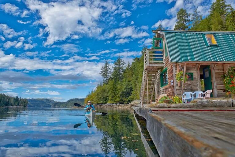
The town’s location along the Iskut Lakes provides superb outdoor recreation opportunities in the surrounding mountains, forests, parks, lakes and rivers that abound in the area.
South of Iskut, Kluachon Lake forms the headwaters of the Iskut River and is the first lake in the Iskut Lake chain, with Eddontenajon, Tatogga, Kinaskan and Natadesleen Lakes all lying beside the highway.
Iskut offers a post office, a gas station and a grocery store, and is the primary base for adventures into Mount Edziza and Spatsizi Plateau Parks, with local guide services providing the experience required to venture into these wilderness areas.
Population: 400
Location: Iskut is located on the Stewart-Cassiar Hwy 37 in Northern British Columbia, south of the community of Dease Lake.
Camping is permitted anywhere along the roadside here, but the campsites in the Kinaskan Lake Provincial Park are enough to make the visitor drool, with killer views west across the wide Kinaskan Lake to Mount Edziza Park.
Horseback and floatplane are the two most common modes of transportation into Mount Edziza Provincial Park, but you can also hike in. Mowdade Lake Trail leads 24 km from the trailhead at Kinaskan Lake Provincial Park, but you’ll need a boat to cross the Iskut River at the trailhead. Further north, at Iskut, the Klastline River Trail follows the Klastline River to Buckley Lake. From here, the trail hooks up with the Buckley Lake Trail that leads into the park from Telegraph Creek. A trail runs from Mowdade Lake west to Coffee Crater, and then north, where it hooks up with the Buckley Lake Trail, though trail is perhaps too strong a word, as these are unmarked, uncleared, undeveloped…well, routes. From Mowdade Lake to Buckley Lake is approximately 60 km. Expect to take six to seven days to backpack in. Only experienced backcountry travellers should attempt these routes without an experienced guide. Contact the Iskut Band Administration Office 250-234-3331.
Spatsizi Plateau Wilderness Provincial Park is the second-largest park in BC, at over 650,000 hectares. To get there, turn east off Hwy 37 onto the Ealue Lake Road at Tatogga Lake. Follow the road for 22 km, crossing the Klappan River, where it intersects the BC Rail Grade. The grade parallels the southwestern boundary of the park for 112 km, and is rough but driveable for most vehicles. From here, the park must be accessed by foot, horseback, or canoe. The two trails that lead into the park, the McEwan Creek Trail and the Eaglenest Creek Trail, follow well-marked routes and connect to a number of other trails. There are over 160 kms of trails in the park, with an old outfitter’s cabin available for public use at Cold Fish Lake.
Grand Canyon of the Stikine: Don’t even think of canoeing or kayaking the Stikine River into the Grand Canyon of the Stikine! The 100-km stretch of impassable waters that charge through canyons 300 metres deep has only been tested once. Be content with the waters that are runable: for instance, the 260-km stretch between Tuaton Lake in the Spatsizi Plateau Park and the Hwy 37 bridge over the Stikine. If you wish, you can pick up the trip on the other side of the Grand Canyon of the Stikine, continuing downriver from Telegraph Creek all the way to Wrangell, Alaska. This is a trip for experienced backcountry paddlers only. Tuaton Lake can be reached by floatplane. See Stikine River Provincial Park.
Watch for the largest Huckleberry Patch in British Columbia, located on the Iskut Burn, so called after a devastating forest fire ripped through the area in 1958.
Paddling: A second canoe route starts in the Spatsizi Plateau Park, and is accessible via a 5-km portage from the BC Rail grade to the Spatsizi River. There are no major rapids on the Spatsizi River, but once the Spatsizi flows into the Stikine, expect some rough waters and rapids, especially at high water levels.
Canoeing & Kayaking in Nechako and Tweedsmuir Park, Northwest BC.
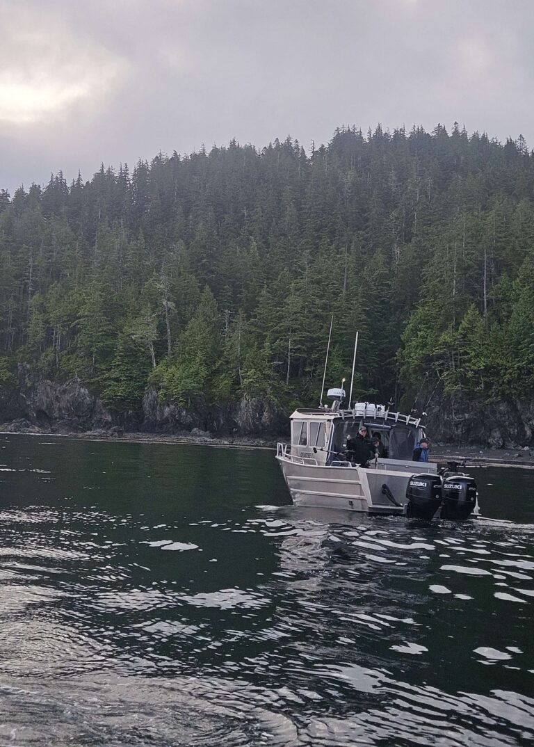
Whitewater Rafting: Dozens of river rafting companies offer treks through this wilderness paradise.
At the Iskut River Hot Springs, extremely hot water weeps out of a rocky embankment on the west bank of the Iskut River. Several springs are present but no pools are available for bathing. The Iskut River Hot Springs, in the traditional territory of the Tahltan First Nation, are protected by the Iskut River Hot Springs Provincial Park. The small 4-hectare park is located approximately 100 km south of the community of Iskut, 15 km northeast of Bob Quinn and 6 km west of the Stewart Cassiar Highway 37. Access to the park is very limited. Foot access is difficult and there is no developed trail. Helicopter and boat access are possible.
Circle Tours: See the best of Northern BC on one of the Circle Tours that capture the wonders of the north. The Circle Tour of Northern British Columbia incorporates the Alaska Highway through the Rocky Mountain foothills to Watson Lake in the Yukon, linking with the Stewart/Cassiar Highway and Yellowhead Highway 16 in the south. The Inside Passage Circle Tour and the Native Heritage Circle Tour follow the same route, from Port Hardy on Vancouver Island north by ferry to Prince Rupert. Catch another ferry to the Queen Charlotte Islands, or venture east on the Yellowhead Highway to Prince George, and south through the peaceful Cariboo to Vancouver along the historic Cariboo Wagon Road.
Circle Tours in British Columbia.