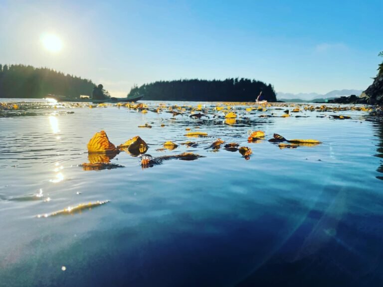
Nitinat Lake is a beautiful tidal saltwater fjord, 23 kilometres in length and 1.2 kilometres wide, located in the West Coast Trail Unit of the Pacific Rim National Park Reserve. Nitinat Lake joins the Pacific Ocean via Nitinat Narrows, a narrow tidal passage three kilometers long and 2.5 meters deep at low tide. The Nitinat area is fast becoming a major centre for tourism, with the Nitinat Lake being named as one of the world’s ten best windsurfing areas. It’s close proximity to Pacific Rim National Park, the West Coast Trail, and the Carmanah Valley are all additional enticements to adventurers.
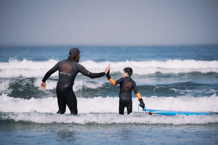
This adventure land is a popular recreation destination for swimmers, boaters, paddlers, windsurfers, and anglers. Experienced wilderness paddlers and windsurfers can explore Nitinat Lake and the smaller lakes in the Nitinat Triangle. There is a lot to explore in the area, including canyons, caves, rivers, and the impressive rain forests.
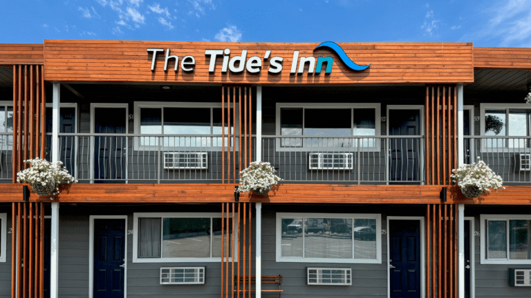
Services at Nitinat Lake include a small motel, restaurant, campsite, gas station and a food store operated by the Ditidaht First Nations.
Location: Nitinat Lake is located on the southwest coast of Vancouver Island, 70 km southwest of Cowichan Lake and 70 km southeast of Port Alberni. The lake lies alongside the Nitinat Main logging road, with 4×4 road access from Port Alberni and Bamfield on the Bamfield road and South Main. Nitinat Lake can also be reached on Nitinat Main and South Main logging roads from the western end of Cowichan Lake (north shore via Youbou), a 150-km drive from Victoria that takes 2 to 3 hours. The gravel logging road is mostly used by logging trucks during the week, so caution is required, as the trucks are enormous, and take over half the width of the road.
Windsurfing: Some of the finest windsurfing and kitesurfing in North America draws devotees to Nitinat Lake from around the globe. The lake offers consistent thermal winds during the summer months. It usually blows when it’s sunny, and blows hard if there’s fog along the coast. The season extends from May through to September, with July and August being the most consistent months. You have to be dedicated to make the long journey to the west side of Vancouver Island, and you have to be good to handle the constant thermal winds that sweep across the lake at speeds up to 50 kph. Don’t wait until you get to the lake to begin building upper-body strength. You’re going to need all the buff you can bring with you. Windsurfing on Vancouver Island.
The Nitinat Triangle Canoe Route is one of the most scenic and remote canoe routes on Vancouver Island, and has also become one of the most popular paddling trips. The Nitinat Triangle is situated in an area of old-growth forest in the Hobiton-Tsusiat watershed, west of Nitinat Lake in Vancouver Island’s Pacific Rim National Park. This The gruelling 38-km circuit through the Nitinat, Hobiton and Tsusiat Lakes takes 4 to 5 days to complete, although the route contains less than 17 km of paddling water.
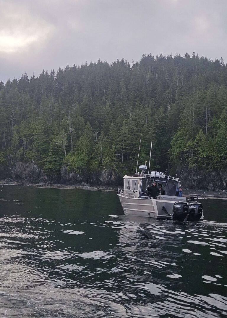
Fishing: Fine fishing in both Nitinat Lake and Nitinat River, and in the many surrounding lakes, rivers and creeks, make this a very attractive area for the sport fishers. From its source in the remote mountains of central Vancouver Island, the Nitinat River flows through Nitinat Lake before discharging into the Pacific Ocean east south of Nitinat Lake. Access to the Nitinat River is via the Nitinat Main logging road off the Franklin South Main road that leads to the town of Bamfield.
The Nitinat River is a good river for flyfishing. A small run of summer steelhead occurs in June and early July, with a run of winter steelhead in February, March and early April. The lower section of the river and the mouth of the Nitinat are productive for cutthroat, and Chinook salmon fishing is good from August to September, thanks to the native Nitinat Fish Hatchery in the lower river. Coho and chum salmon runs are good in October and November.
Camping: Camping facilities are available at the Nitinat Lake Recreation Site nestled in a grove of giant spruce trees. The Forest Service recreation site has the international cachet that you’d also find in select places such as the Gorge in Oregon or the Squamish Spit. Vans and trucks carrying board sailors from around the world, and decked out with roof racks for windsurfing equipment, occupy many of the rustic campsites beside the lake.
You don’t have to brave the winds; just driving the logging roads west of Cowichan Lake qualifies you to stay here. This campsite is busy almost year-round. If it’s not the windsurfers and kiteboarders, it’s the visitors to nearby Carmanah Walbran Provincial Park.
Nitinat River Hatchery is Canada’s largest salmon hatchery, producing chum, chinook and coho salmon, and also some steelhead. The hatchery annually performs the largest chum salmon egg take in all of Canada, with a total of over 40 million eggs being taken. The facility is a major contributor to the commercial chum fishery. Over 350 thousand coho are produced each year, as well as approximately ten thousand steelhead. The facility is also a major producer of chinook, the annual release of which has grown to over six million smolts. This has resulted in a thriving sport fishery inside Nitinat Lake and also in surrounding fishing locations on the west coast of Vancouver Island. Hatchery staff assist tourists with information and directions and provide tours of the hatchery itself, with information on fish habitat and life cycles.
Wildlife: Wild animals moving through the Nitinat Lake watershed include Roosevelt elk, black bears, cougars and wolves. The area, including neighbouring Hitchie Creek Provincial Park, provides potential habitat for species at risk like the endangered Marbled Murrelet and Keen’s long-eared myotis.
Carmanah Walbran Provincial Park, to the southwest of Nitinat Lake, is home to some of the world’s largest spruce trees, including the Carmanah Giant, at 95 metres, which is thought to be the tallest Sitka spruce in the world! Take a side trip to the old growth forests of Carmanah Walbran and view first hand the pristine wilderness that has made British Columbia so famous.
Pacific Rim National Park comprises three, including the West Coast Trail Unit in which Nitinat Lake is located. The land of the West Coast Trail unit is temperate coastal rainforest dominated by old-growth spruce, hemlock and cedar, and outdoor recreation is decidedly of the wilderness variety.
The West Coast Trail has two trailheads; Pachena Bay and Gordon River (Port Renfrew), but the trail can also be joined midway, at the Nitinat Narrows. The Nitinat Registration Office for the West Coast Trail is located at the Ditidaht First Nation’s General Store, at the northeast end of Nitinat Lake. From the centre you will need a water taxi down Nitinat Lake to the trail at Nitinat Narrows. The ferry usually makes a trip at 5:00 pm from Nitinat Narrows to Nitinat Village.
Hitchie Creek Provincial Park is located west of Nitinat Lake, adjacent to the West Coast Trail Unit of Pacific Rim National Park. This 226-hectare wilderness area is exceptionally beautiful, enhanced by the remote and rugged nature of the park.
Nitinat River Provincial Park is located above Nitinat Lake in an old-growth forest of Douglas fir and Western hemlock. The park offers opportunities for wilderness hiking and camping, as well as sports fishing and wildlife viewing. The Nitinat River carves through this lush forest, creating a series of spectacular falls and quiet pools perfect for viewing steelhead and salmon.
While these deep pools within the canyon are closed to anglers, fishing is possible in the area around the Nitinat River Bridge Pool. This rugged, scenic wilderness park has no developed camping or day-use facilities, but random wilderness camping is allowed. Nitinat River Park can be accessed via Port Alberni, Cowichan Lake or Port Renfrew along the Nitinat Main logging road. Two sites – Nitinat River Falls and Nitinat River Bridge Pool – are located approximately 8 and 15 km southwest of Cowichan Lake.
Port Alberni is the last large town passed en route to Nitinat Lake. Port Alberni is nestled in the Alberni Valley at the head of Vancouver Island’s longest inlet, and today the town is converting itself into a major tourist hub. Port Alberni calls itself the Salmon Capital of the World, and it’s harbour district is thick with tackle shops, boat rentals, and fishing charters.
Bamfield, a tiny resort hamlet nestled quietly in a protected inlet on the south shore of Barkley Sound, is the closest large community to Nitinat Lake. This tiny fishing and harbour village, heavily populated by marine biologists, is a quiet, unassuming village where the love of the land and sea prevails.
Premier Nitinat Lake Business Directory – Local Businesses in South Vancouver Island