Kiskatinaw Provincial Park is located along the banks of the Kiskatinaw River, on the original Alaska Highway north of Dawson Creek in Northern British Columbia. The Kiskatinaw River flows along the east side of Dawson Creek, then bends north around the town. Kiskatinaw Provincial Park, which has access to the river, is right beside the historic wooden curved Kiskatinaw River Bridge, pictured at right, a three-span wooden trestle from which visitors cast cautious glances at the river 30 metres below.
The trestle bridge was built during the Second World War (1942-43) and constructed in a curved shape due to a hairpin curve in the river. Visitors can take a stroll from the park to the bridge and reflect upon the unique history of the Alaska Highway.
The Alaska Highway officially begins in Dawson Creek, and is one of the longest, loneliest stretches of road you’ll ever have the pleasure of driving. Until you get to Fort St. John, 80km north of Dawson Creek, there is still a pretence of civilization. Kiskatinaw Provincial Park is not quite at the halfway point between the two towns.
Fishing for pike in the Kiskatinaw River is good, and possibly bull and rainbow trout. Even better fishing is found on the Peace River near its confluence with the Kiskatinaw. Use the boat launch at Blackfoot Regional Park, northeast of Dawson Creek near the town of Clayhurst.
Elk, moose, and white-tailed deer frequent the area, and moose and deer may be viewed around the campsite. Squirrels, chipmunks and various songbirds are more common visitors.
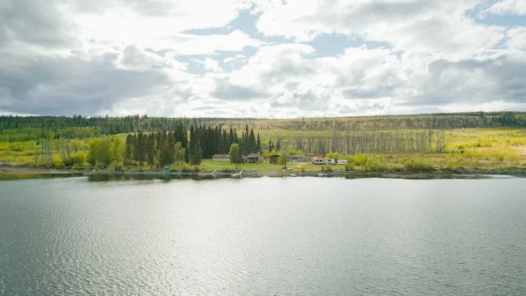
The park contains 28 vehicle/tent campsites and provides basic facilities. There is also a picnic/day-use area nearby. The park is open from mid May to mid October, weather permitting, and fees are collected during this time.
Kiskatinaw Provincial Park is located 28km north of Dawson Creek off Highway 97, on the Old Alaska Highway, in North East British Columbia.
Nearby Regions & Towns
Park Notices