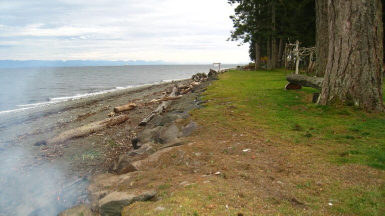
The Kettle River Recreation Area straddles the Kettle River between the Okanagan Plateau and Monashee Mountains, and brings to mind one of Canada’s most historic and scenic railway routes. The Kettle Valley Railway discontinued service between Beaverdell and Penticton in 1973, and the track was removed between Midway and Penticton in 1979-80, but the abandoned right-of-way runs through this recreational area, including a sturdy iron bridge spanning the Kettle River, and is an excellent hiking trail.
Remains of gold and silver mines that once brought thousands of people to this now peaceful area can be seen on the river’s eastern bank. If exploring this area, keep a sharp eye out for old mine shafts and adits, horizontal entrances or passages. Wondering about the name? A kettle is a peculiar geological formation left over from the most recent ice age. These steep-sided depressions, also known as potholes, mark the ground where ice boulders were once trapped between rocks.
The river is well suited to canoeing and inner-tubing, but potential hazards do exist, so be sure to do some preliminary scouting. In winter, cross-country skiing and snowshoeing are favourite pastimes.
You can walk or hike as much or as little on the Kettle Valley Railway Trail, as you feel inclined to tackle. Stamina, more than conditioning, will determine if you complete the 24 km round trip between the trailheads. As the trail follows an abandoned railbed, the grade is moderate. Bikers, hikers, and horseback riders can pick up the trail at Grand Forks, Greenwood, or Midway (all along Hwy 3) or at Rock Creek, Westbridge, or Beaverdell (all along Hwy 33).
Myra Canyon, a lovingly restored section of the Kettle Valley Railway Trail offers bikers great views – there are no steep climbs or hairball singletracks, just some fun, casual riding. What makes the Myra Canyon section special are the 18 trestles and two tunnels you’ll pass over and through. Exercise caution when riding across the trestles. The Myra Canyon section is part of the historic route between Midway and Penticton.
Open May through September the park features 87 vehicle/tent campsites, including some group sites. The sites are located at a bend on the west bank of the Kettle River nestled in an area of Ponderosa pine and birchgrass. Facilities provided include pit toilets, picnic tables, fire pits, firewood, water and a sani-station. Recreational facilities include a children’s playground and some horseshoe pits. Fees are collected from May 1 – Sept 21 and campers who are self-sufficient and user maintained may stay in the campground until late October. After October, the campground is gated.
The Kettle River Recreation Area is located 6.5 km north of Rock Creek on Highway 33 in the Boundary Country region of British Columbia.
Nearby Regions & Towns
Park Notices