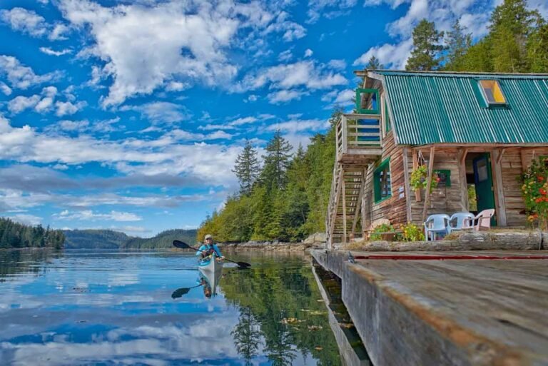
The Fraser River’s constant flow is responsible for filling in the shoreline of the Strait of Georgia with silt. Two expansive tracts of tidal marshland front the delta—Sturgeon and Roberts Banks—without providing much in the way of beaches. Instead, the shoreline is characterized by tall stands of bulrushes and lies strewn with driftwood. Iona Island’s 12 miles (20 km) of sandy shoreline beside Sea Island is an exception.
Finding your way to Iona Beach Regional Park involves first crossing Sea Island, which can be tricky, as Sea Island is the home of the Vancouver International Airport; follow the street signs in Richmond (or Vancouver) as if you’re headed to the airport. See directions below.
As the backroads lead to Iona, you pass the somewhat misnamed Mchttps://britishcolumbia.com/wp-content/uploads/2020/07/discovery-islands-lodge-1-accommodation-quadra-island-british-columbia-1.jpg Beach. At low tide a small beach is revealed here but it is hardly the place you’d want to spread out a towel (the wake put up by passing marine traffic on the Fraser River would soon send you running for higher ground). Iona Beach Park is really where you want to head if you are looking for a place to stretch out beside some driftwood. There is a wildness here on the western perimeter of the delta that defines Iona’s unique personality. Two lengthy jetties shelter the beach as they stretch out into the Strait of Georgia. The banks of Iona Jetty are lined with concrete riprap, while North Arm Jetty is much sandier.
If you’re looking for an ideal spot to do some stargazing, Iona Beach Park is it. The park is far away from the lights of nearby Richmond or Vancouver, and out here the night sky is as black as bean sauce. Just make sure that you leave your vehicle outside the nearby gates if you plan to be in the park after closing time, unless you’re attending one of the special stargazing evenings offered throughout the year by GVRD Parks. Although the gates to the park close at dusk, visitors may still enter on foot.
Plexiglas shelters are located at the midway point and the far end of the pipeline at Iona Beach Park. Not only do they provide a break from the cool winds that often blow across the ocean, but these are also ideal locations from which to snap a sunrise or sunset shot. The most prominent features in the panoramic vista are Mount Baker to the east, the Coast Mountains to the north with Pacific Spirit Regional Park in the foreground, and the open water of the Strait of Georgia with a profile of the Vancouver Island Mountains to the west.
Nearby Mchttps://britishcolumbia.com/wp-content/uploads/2020/07/discovery-islands-lodge-1-accommodation-quadra-island-british-columbia-1.jpg Beach on Richmond’s Sea Island features a boat launch, a bait shop, and several picnic tables arranged on a high bank beside the Fraser River’s North Arm. Sea Island’s backroads are a good place to cycle while watching planes or eagles, osprey, and heron, take off and land. A good place to begin is Iona Beach Regional Park. Plan on taking 45 minutes or so to pedal the lengthy 7.5-mile (12-km) stretch of paved backroads that lead across Sea Island along Grauer, Mchttps://britishcolumbia.com/wp-content/uploads/2020/07/discovery-islands-lodge-1-accommodation-quadra-island-british-columbia-1.jpg, and Ferguson Roads. If the backroads don’t completely satisfy your will to wheel, tack on another 5.5 miles (9 km) by riding out to the end of Iona’s jetty and back. By then you’ll be saddle weary, for sure!
The Arthur Laing Bridge in Vancouver, and the Moray, Dinsmore, and No. 2 Road Bridges in Richmond, all link with Sea Island. If you cross the Arthur Laing, take the Richmond exit to the right as soon as you reach the south end of the bridge. Follow the off-ramp towards Miller Road, staying in the left-hand lane as you approach the stop sign. From there, a green Greater Vancouver Regional District (GVRD) sign points left to Iona Park. In Richmond, head west along Sea Island Way, cross the Moray Bridge, and turn north onto Grauer Road. Follow the signs from here. The Dinsmore and No. 2 Road Bridges both connect with Russ Baker Way on Sea Island, which in turn connects with Miller Road. Turn east on Miller, then immediately north on Grauer, and follow the signs for Iona Beach Park from here.
Nearby Regions & Towns
Park Notices