Northern British Columbia provides some of the most remote and beautiful backcountry available to outdoor adventurers anywhere in the world. There are only two road access routes into the vast wilderness of the north; The Stewart-Cassiar Hwy 37 in northwest BC, and the Alaska Highway 97 in northeast BC. Communities along these highways provide access into the wilderness, by floatplane, boat, horseback, all-terrain vehicle, or by foot.
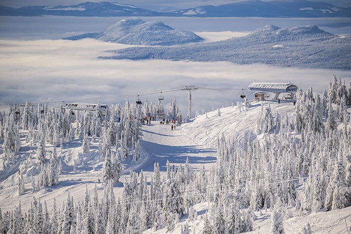
The Rocky Mountains cut a vast swath across the northern half of British Columbia. The Rocky Mountains and their foothills dominate the Northeast, comprising roughly 20 million acres (8 million hectares). There are no roads that cross the range north of Pine Pass (between Mackenzie and Chetwynd) until the Yukon border. The Northern Rocky Mountains are the largest roadless landscape south of the 60th parallel, as well as one of the richest and most varied intact large wildlife ecosystems remaining in North America. The area’s wildlife population is so prolific that this portion of the Northern Rockies has been dubbed the Serengeti of North America.
In the vast, highwayless gulf between the Alaska Highway, which begins in Dawson Creek at Mile 0, and Highway 37 to the west is an area that at its most expansive is 700 km wide and 1,200 km long. To put that in perspective, you could drop Switzerland into this region and not have road access. This is big country. Most people don’t venture more than a few miles off paved road. Some never make it off pavement at all, but if you do, a world of recreational opportunities awaits, whether you’re a weekend adventurer or a trail-hardened explorer. Come prepared, and enjoy the rich and varied wilderness, a place where people are scarce, but the exploits plentiful.
Horseback riding is permitted at Uncha Mountain Red Hills Provincial Park, located on the south and north shores of Francois Lake, south of Burns Lake. The Park provides exceptional backcountry recreation. The Red Hills portion of the park is reached by road from Burns Lake via Highway 35 to the community of Francois Lake, then east along Francois Lake East Road. Uncha Mountain is reached by taking the public ferry south across the lake from the community of Francois Lake, then following Uncha Lake Road east to Uncha Mountain Forest Service Road.
Horses and horseback riding are allowed by permit only in Tatshenshini-Alsek Provincial Park. The Tatshenshini-Alsek is considered one of the most magnificent river systems on earth. Tatshenshini-Alsek Park has been designated as a World Heritage Site by UNESCO, and encompasses nearly one million hectares of glacier-cloaked peaks, wild rivers, grizzly bears and unusual plantlife. Situated in the very northwest corner of British Columbia, the park is nestled between Kluane National Park in the Yukon and Glacier Bay and Wrangell-St. Elias National Parks in Alaska. These parks combined comprise the largest protected area in the world, approximately 8.5 million hectares.
Boulder Creek Provincial Park is a small 53-hectare parcel of old growth hemlock forest accessed via Boulder Creek Forest Service Road, 26 miles (41 km) north of Smithers. Although the park has limited access, it is an access route for hikers, horseback riders, ATVs, and mountain bikers to the upper part of the valley, such as Brian Boru and Tiltusha Peaks.
Stikine River Provincial Park allows horseback riding, but a letter of permission must first be obtained from the BC Parks Stikine Area Office at 250-771-4591. The park protects 50 miles (80 kms) of steep-walled canyon that has been carved by river erosion over the millennia. In the bottom of this deep chasm flows the wild and unnavigable Stikine River. Stikine River Provincial Park is located west of Highway 37, with access to Telegraph Creek along the scenic Telegraph Creek Road, which leads 69 miles (110 km) from Dease Lake. This road is steep and narrow in some places.
Kitwanga Mountain Provincial Park allows horses and the riding of horses. The park is located in the Nass Range near Kitwanga, accessed by secondary roads off Highway 37, just north of the bridge spanning the Skeena River, about 1 km north of Yellowhead Highway 16. The trail is very steep, and after a strenuous climb to the top, riders are rewarded with a breathtaking view of the Seven Sisters mountain range.
Horse riding in Tatlatui Provincial Park requires a letter of permission from the BC Parks Stikine Area Office at 250-771-4591. Tatlatui is a remote wilderness area in north central BC, on the easterly fringe of the Skeena Mountains and the southerly end of the Spatsizi Plateau. The park boundary completely encloses the headwaters of the Firesteel River, whose waters eventually reach the Arctic Ocean about 2,375 miles (3,800 km) away. The park is located 150 miles (240 km) north of Smithers and approximately 113 miles (180 km) southeast of Highway 37 at Eddontenajon Lake. No road access – horseback only. All major lakes are accessible by float plane or helicopter.
Babine Mountains Provincial Park permits horses on Harvey Mountain Trail, Silver King Basin Trail, Onion Mountain Road/Trail, Cronin Creek Road/Trail, and Higgins Creek Trail. Horseback riders must have a written letter of permission from BC Parks in Smithers before heading out on the Lyon Creek Trail. This park within the Skeena Mountains ecosystem offers some of the finest hiking and horse riding opportunities to glacier-fed lakes, rugged peaks and extensive sub-alpine meadows. Access to the west end of the park is along the Old Babine Lake Road, which leaves Yellowhead Highway 16 just 2 miles (3 km) east of Smithers. Follow the signs to Driftwood Canyon Provincial Park. The parking lot and information map are located 5 km north of Driftwood Canyon. To access the east end of the Park, turn left off Babine Lake Road, 6 km east of Smithers on Highway 16. The highway turnoff is at 0 km of what becomes the Burnt Cabin Road and then the Babine Lake Road. The Little Joe and Cronin Creek trailheads are found along the route.
Todagin South Slope Provincial Park requires individuals or groups who wish to ride horses in the park to obtain a letter of permission from the BC Parks Stikine Area Office at 250-771-4591. The backcountry wilderness park protects habitat for mountain goats, grizzly bears, moose and caribou, and is located approximately 66 miles (105 km) north of Stewart. Access to the park is by air, or by foot or horse on the Todagin Mountain Trail, which begins near Tatogga Lake.
Horseback riders venturing into provincial parks are required to obtain a letter of permission from BC Parks.