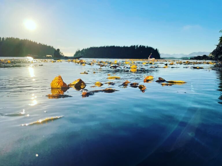
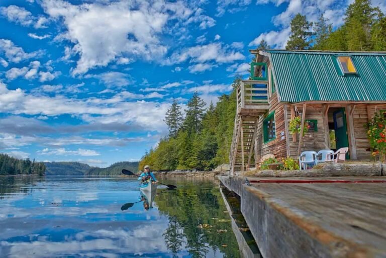
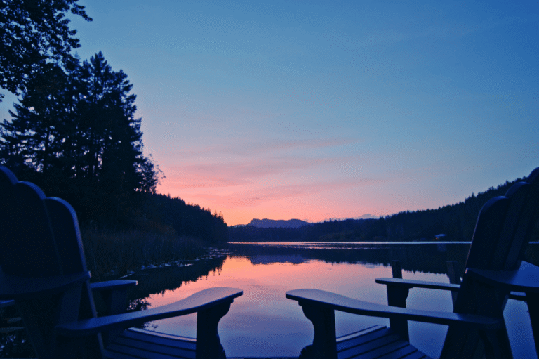
The Powell Forest Canoe Route is located within the Sunshine Coast Forest District. This area contains numerous lakes and creeks with a variety of physical features ranging from deciduous covered lowlands to rugged mountain peaks surrounding the ‘fjord-like’ lakes. Known as the Northern Sunshine Coast, this area is extremely scenic and offers a variety of recreational activities. There are currently 20 Forest Service recreation sites located along the canoe route and adjoining lakes.
The canoe route has a unique logging history dating back to the early 1920s. Evidence of the old logging practices can still be found along the route. The area also supports several active logging operations and serves as a good example of integrated forest management.
Access to the Powell Forest Canoe Route can be gained by following Highway 101 to the Canoe Main logging road, just east of the Lois River near Lang Bay (21 km east of Powell River), and driving up the mainline. Follow the signs and Branch 41 to the Lois Lake Recreational site, approximately 7km from the highway. Access to Canoe Main and Lois Lake is not restricted. However, caution should be exercised, as there are active logging roads crossing the Canoe Main.
Access via Goat Main, Stillwater Main and Lois Main is restricted to weekends and weekdays between 6 pm and 6 am only. Signs at the entrance to these roads should be obeyed. Drive slowly and carefully when using all forest roads. In general, drivers should take care when driving on all active logging roads, as there may be unscheduled logging traffic at any time.
The preferred time to travel the canoe route is between May and October. In order to avoid adverse grades when portaging, the preferred direction to paddle the Powell Forest Canoe Route is Lois Lake to Powell Lake.
Keep local wind conditions in mind when paddling Lois, Horseshoe, Dodd, Goat and Powell Lakes. Paddlers should leave word with a responsible person indicating where you are going to paddle and when you expect to return. Wear a life jacket or a personal flotation device and carry emergency supplies including extra food, a change of clothing, rain gear, a boat repair kit, and survival equipment.
Powell forest Canoe Route Circuit Description:
- Section 1: Lois Lake to Horseshoe Lake – 8.5 km Paddle
- Section 2: Lois Lake Site to Khartoum Lake Site – 14.0 km Paddle
- Section 3: Lois Lake to Horseshoe Lake – 1.7 km Portage
- Section 4: Horseshoe Lake and Nanton Lake – 6.5 km Paddle
- Section 5: Nanton Lake to Ireland Lake – 2.4 km Portage
- Section 6: Ireland Lake – 1.0 km Paddle
- Section 7: Ireland lake to Dodd Lake – 0.8 km Portage
- Section 8: Little Horseshoe Beaver Route – 1.0 km Paddle, 2.0 km Portage
- Section 9: Dodd Lake – 7.0 km Paddle
- Section 10: Dodd lake to Windsor Lake – 0.7 km Portage
- Section 11: Windsor Lake – 2.2 km Paddle
- Section 12: Windsor Lake to Goat Lake – 2.4 km Portage
- Section 13: Powell Lake – 28.5 km Paddle
- Total Paddle: 68.7 km
- Total Portage: 10.0 km
Nearby Regions & Towns


