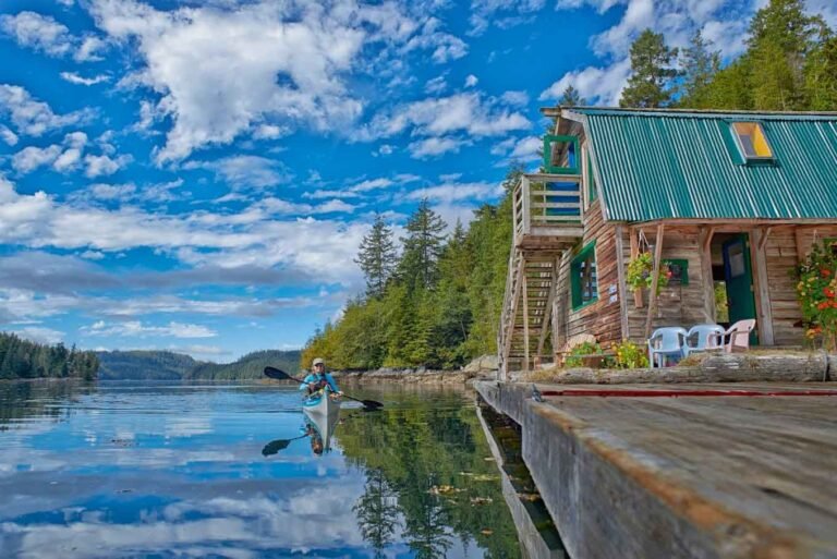
Sechelt Peninsula
Although shoulders on the winding highway can be narrow, cyclists will find that Highway 101 is a challenging but often scenic route. Avoid peak traffic times, such as the surge that follows the arrival of a BC Ferry, and you’ll have long stretches of the highway to yourself, particularly as you pedal north of Sechelt. One consideration: You don’t have to cycle Hwy 101 all the way, all the time. There are a few backroads, such as Lower Roberts Creek Road, that travel in roughly the same direction while providing a more tranquil ambience. Lower Roberts Creek Road loops away from Hwy 101 north of Gibsons and rejoins it north of Roberts Creek, for a total distance of 5 miles (8 km).
Hwy 101 rises and falls as it parallels the coastline for much of its length. One of the steepest hills is on the north side of Sechelt. Redroofs Road is a delightful 6-mile (10-km) side road that loop-dee-loops along the coast off Hwy 101. The southern entrance to Redroofs is located about 4 miles (7 km) north of Sechelt. The northern entrance is just north of Trout Lake. Note: In recognition of cyclists, Porpoise Bay Provincial Park in Sechelt has 6 ride-in campsites.
Malaspina Peninsula
Just as a backroad took cyclists away from Hwy 101 around Roberts Creek on the southern half of the route, so too does a series of roads that leads from Hwy 101 at the south end of Powell River through Paradise Valley, a lush agricultural area. As Hwy 101 approaches Myrtle Point, follow Centennial Drive to Padgett Road, which eventually links with Duncan Street. Head west on Duncan to reach Marine Avenue (Hwy 101), which parallels Powell River’s inner harbour. Cyclists heading north of Powell River as Hwy 101 covers the 14 miles (23 km) to Lund will be confronted with one major hill. The highway makes a wide switchback as it climbs above the dam on Powell River. Catch your breath at the dam, from where you get a picturesque view of the boathouses on Powell Lake. Once you reach the Native community of Sliammon, the road levels out for the remainder of the journey.
An easygoing, ultrascenic cycling path runs along the Willingdon Beach Trail. This route was originally a railway bed but has now been converted into a simple network for walking and cycling. The trail begins in the Powell River Municipal Park beside Willingdon Beach, just north of the central harbour.
Inland Lake is tucked into the hillside behind Powell River. It is the site of an ambitious program to make the municipal park located here as friendly and useable to people in wheelchairs as to those on foot. A wide, limestone pathway encircles Inland Lake and provides an excellent 8-mile (13-km) cycle route, with the gentlest of grades. You’ll enjoy it so much you might want to do it twice.