Recreation by Region British Columbia.
British Columbia provides an overwhelming diversity of recreation and outdoor adventure in the 24,000 lakes, rivers and streams; temperate forests, rainforests and mountains; provincial and national parks; and over 6,000 islands and islets. The varied terrain provides unlimited exploration, from BC’s west coast and Vancouver to the interior plateaus and highlands of the Cariboo and Chilcotin, from the Tompson Okanagan to the Kootenays and majestic BC Rocky Mountains in the east.
Come with us to discover the recreation by region British Columbia you can find online:
Recreation by region in British Columbia showcases the unique characteristics of each area, offering a wide range of activities that capitalize on the natural and cultural features. In the Lower Mainland, urban parks and seaside paths in Vancouver provide perfect spots for cycling and walking. Vancouver Island offers abundant outdoor opportunities, from surfing in Tofino to hiking the Juan de Fuca Trail. The Interior, particularly the Okanagan, is famed for its lakes perfect for boating and water sports, and the mountains for skiing and snowboarding. In the Kootenays, the focus is on wilderness exploration and watersports in pristine lakes and rivers. These are the most marvelous landscapes you can find in the not¿rthern hemisphere! Make sure you come by!
Northern BC, known for its rugged landscapes, offers exceptional opportunities for hiking, fishing, and observing wildlife in more remote settings. Each region brings its unique flavor to the concept of “Recreation by Region British Columbia,” making the province a mosaic of recreational diversity.
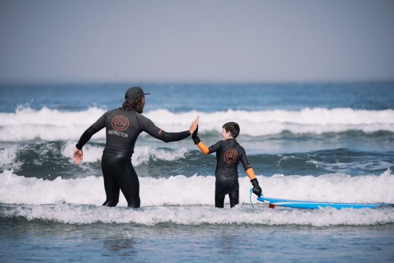
Vancouver Island & BC Islands
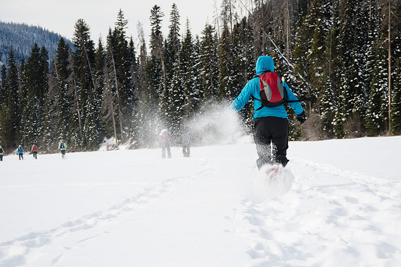
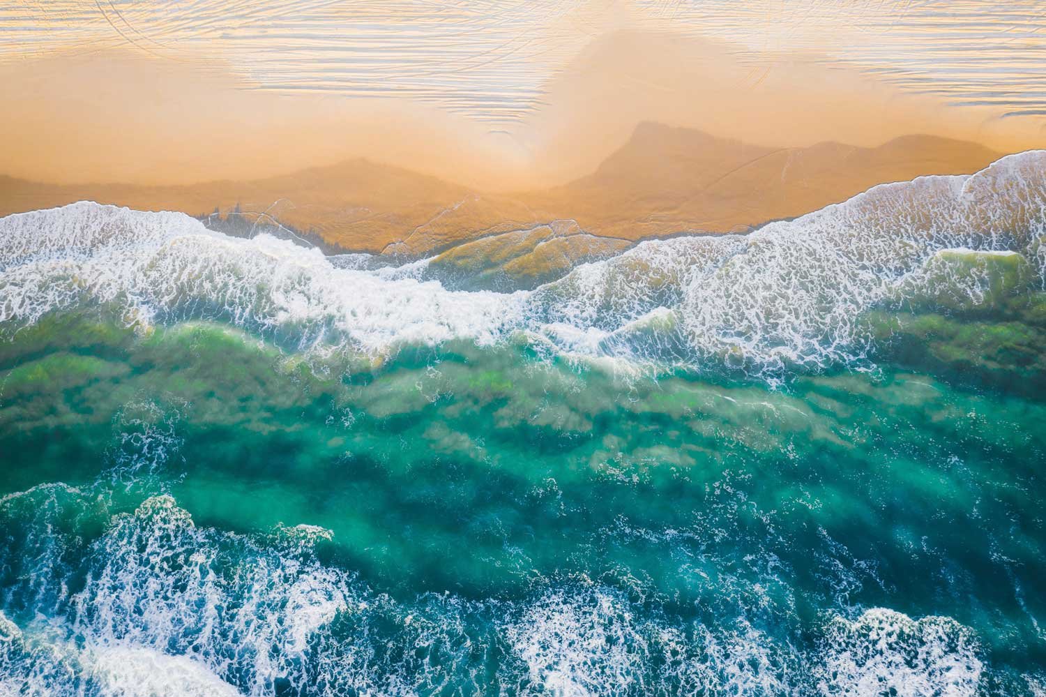
Vancouver Island offers a rich diversity of topography and landscapes, ranging from magnificent rainforests and sandy beaches along the coast to spectacular mountains that form the spine of Vancouver Island. This diverse playground offers a fabulous selection of outdoor recreation and adventure in its remote wilderness regions.
Vancouver, Coast & Mountains
This region of British Columbia incorporates the city of Vancouver, the resort town of Whistler, the BC Sunshine Coast, and the Fraser Valley on the BC Lower Mainland. The Coast Mountains that run from Vancouver’s North Shore right up to Northern BC provide appreciable opportunities for recreation and outdoor adventure.
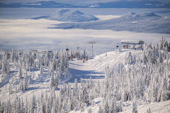
Thompson Okanagan
You can’t really say you know British Columbia until you’ve travelled this area, certainly one of the liveliest in the province. A series of gentle mountain ranges rolls between the Thompson Plateau in the west and the Shuswap Highlands to the east, then rises dramatically in the Selkirk and Monashee Mountains.
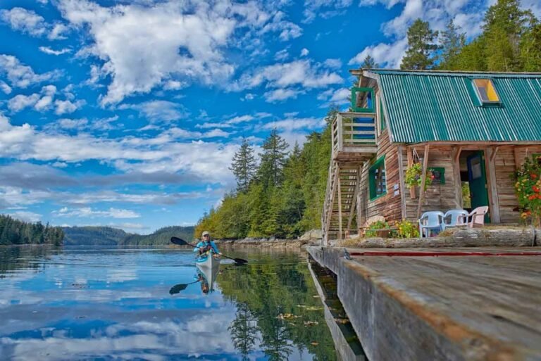
Kootenay Rockies

Dominated by mountains and water, the Kootenays region of British Columbia is cradled between the Monashee Mountains and the Selkirk and Purcell Mountains. Between these ranges are the enormous Arrow and Kootenay Lakes. The BC Rockies present some truly extraordinary landscapes to explore and thrilling whitewater rafting and kayaking adventures.
Cariboo, Chilcotin, Coast
The Central Coast of British Columbia delights adventurers with some of the most beautiful terrain in BC. The Chilcotin Plateau east of the Bella Coola Valley can rightfully claim to be the true bastion of the range rider, with vast expanses of the Chilcotin being worked by large ranching outfits. Thousands of lakes and rivers offer superb recreation possibilities.
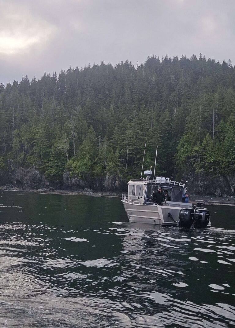
Northern BC & Haida Gwaii
The boundless wilderness of Northern BC is larger than the state of California. The North West is filled with the standard BC fare of deep fjords, dramatic canyons, sheer mountains, rivers thick with salmon, old-growth forests, and an abundance of wildlife. The Rocky Mountains and their foothills dominate the North East, as the Rockies cut a vast swath across the northern half of BC.
Recreation by Region British Columbia 2024
For more: https://www.travel.gc.ca