The northernmost terminus of Highway 101, historic Lund was founded in 1889 by Frederick and Charles Thulin, who named the fishing village after the university city of Lund in Sweden. The Thulin brother’s handiwork can still be seen in the refurbished Lund Hotel that they built in 1895.
Once a port for isolated coastal logging operations, and the last stop in civilization for those heading north, Lund lies on a secluded harbour backed by the magnificent peaks of the Coast Mountains.
Today Lund is a major stopover for tourists and vacationers, with approximately 800 year-round residents. This number increases substantially during the summer months when vacationers use Lund as a staging point for trips to Savary island, Desolation Sound and points further north up the rugged BC coast.
One of the world’s longest highways, the Pacific Coastal Highway (also named Highway 101 in parts of the United States and Canada), stretches 15,020 kms, all the way from Chile’s south coast to end in the tiny hamlet of Lund on BC’s Sunshine Coast.
Location: Lund is located on Highway 101, 16 miles (26 km) north of Powell River on the Sunshine Coast of BC, and is reached by scheduled air and bus services between Powell River and Vancouver, and by ferry from the Little River ferry terminal in Comox on Vancouver Island to Powell River. Lund can also be reached from Vancouver in the south (5-1/2 hours, 104 miles/166 km) by catching a ferry from Horseshoe Bay in West Vancouver to Langdale, driving from Langdale to Earls Cove on Highway 101, and catching another ferry from Earls Cove to Saltery Bay. Lund is 34 miles (54 km) northwest of Saltery Bay on Highway 101.
Stroll the boardwalk around the harbour and watch the constant hustle and bustle of the busy little harbour, and visit the arts and crafts shops.
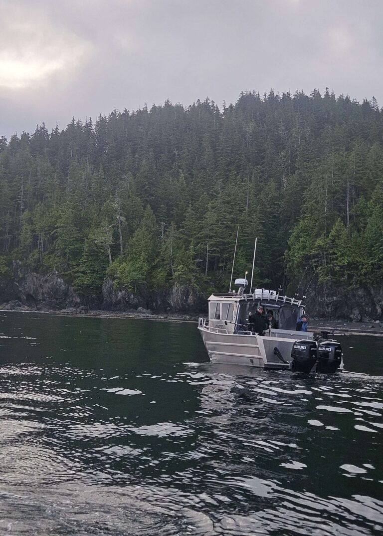
Fishing: This coastline’s year-round salmon fishing provides thrills for anglers of all ages. Charter boats abound in Lund and Powell River to the south, guided by captains experienced in finding the ideal fishing hole. In Lund you can cast your line right off the breakwater, and you’ll soon discover why a small, offshore island is named Dinner Rock: ling cod and salmon frequent these waters.
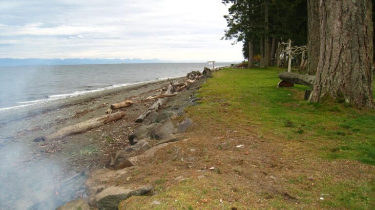
Recreation Sites: There are more Forest Service Recreation Sites concentrated around the Powell River area on the northern Sunshine Coast than in almost any other similar-sized area in British Columbia. One of the best sites includes Dinner Rock, 4km south of Lund. Beautifully positioned sites, with plenty of firewood, freshwater, and a car top boat launch. The Dinner Rock Campground is located directly on the ocean, reached by high-clearance vehicles via a rough road off Hwy 101. The recreation site offers basic facilities and campsites, including walk-in and vehicle sites. This is where you want to be when a full moon lights up Malaspina Strait and shooting stars strafe the night sky.
Cycling: Cyclists heading north from Powell River as Hwy 101 covers the 14 miles (23 km) to Lund will be confronted with one major hill. The highway makes a wide switchback as it climbs above the dam on Powell River. Catch your breath at the dam, from where you get a picturesque view of the boathouses on Powell Lake. Once you reach the Native community of Sliammon, the road levels out for the remainder of the journey.
Golf: Golfers will have to head to Powell River to tee off. Myrtle Point Golf Club on the shores of Malaspina Strait, five minutes south of Powell River, is surely one of Les Furber’s best design efforts. With a challenging course and spectacular views, the Par 72 layout can be stretched to over 6,900 yards. From the forward tees it comes in at just over 5,500 yards, while the white and blue tees are played at 5,900 and 6,400 yards respectively. Golf Vacations in British Columbia.
Mountain Biking: The Upper Sunshine Coast area is well documented as having some of the best mountain biking trails in the province, most of which are clearly marked with a white mountain-bike symbol and double bands of various-coloured paints, making the routes a breeze to follow. A ride of epic proportion – the Bunster Hills Loop – is found about halfway between Powell River and Lund. It starts along Wilde Road on the north side of Hwy 101, is marked by orange paint and white biking symbols, and gains 2,460 feet (750 m) over the first 7.5 miles (12 km), but the views – and the 13.6-mile (22-km) ride down – make the effort worth it. Another extended route is the Malaspina Trail, between Powell River and Lund. One of the more scenic sections of the trail passes through Dinner Rock Forest Service Recreation Site.
Hiking: The Sunshine Coast Trail stretches from the Saltery Bay ferry terminal in the south to Sarah Point in the world-famous Desolation Sound in the north. The 180-km trail rivals the West Coast Trail on Vancouver Island, offering panoramic views and wilderness campsites, while also providing access to developed campgrounds and two B&Bs for those who wish to spoil themselves after trekking through the forest.
South of Lund you’ll find a lengthy hiking route along the Marathon-Appleton Trail (moderate; 7.5 miles/12 km return). Some of the values of this route includes fine viewpoints at the Gibraltar and Gentle David lookouts, located off the Marathon Trail, as well as picnic sites at Rieveley’s Pond and Appleton Creek. One of the beauties of this trail system is that you can choose to do all or part of it and still find significant rewards.
Take a 12-minute water-taxi ride across to Savary Island, where dazzling sunlight, glorious sunsets, and moonlit nights on sandy beaches all combine to bring the glamour of the tropics to this paradise island in British Columbia’s Strait of Georgia.
Kayaking: From Lund, kayakers can see the white sandy beaches on Savary Island beckoning in the distance, while the Copeland Islands (Copeland Islands Marine Provincial Park) lie out of sight to the north. To reach Savary Island, paddle south from Lund along the peninsula’s shoreline to the point closest to Savary, then paddle west for 30 minutes, or about 1 mile (1.6 km). To reach the Copeland Islands, or Raggeds as they are also known locally , head north from Lund, hugging the steep-sided coastline. Marine traffic in Thulin Passage can kick up a sizable chop; thus, it’s best to set out as early in the day as possible before many large pleasure craft begin to ply these waters. Pick your opening and paddle hard to cover the 0.6 mile (1 km) between the peninsula and the most southerly island in this chain. Once in the vicinity of the Copelands, you’ll find sheltered paddling that you’ll have to share only with the numerous seals that haul up on little islets when not fishing for their next meal. Shellfish are particularly abundant. Although the seven major islands in the Copelands are quite rugged, with limited level terrain, a handful of campsites are tucked away on the sheltered north side of the third from the top of the chain. There are no facilities here, no freshwater, and campfires are prohibited. Pack out everything except your oyster shells, though you’ll probably want to keep one as a memento.
Okeover Arm Provincial Park, west of Lund, is a small campground frequented by paddlers. This park is the choice of those intent on exploring Desolation Sound. Except in the busiest summer months, you’ll probably have your pick of any of the vehicle/tent sites and adjacent walk-in sites in the forest beside Okeover Arm, a long neck of water along the east side of Malaspina Peninsula, 3 miles (5 km) south of Lund. There’s a federal dock and boat ramp here and, unlike in Lund, plenty of parking, should you be heading out for an extended paddle. The park lies 3 miles (5 km) east of Hwy 101 on Malaspina Road.
Lund is the gateway to the world-famous Desolation Sound Marine Provincial Park. The pristine waters of Desolation Sound are surrounded by steep evergreen mountains, all teeming with the wildest of wildlife. One of the prime attractions of these waters is their warmth in summer months, which makes them ideal for swimming and snorkeling. The sound sits at the end of British Columbia’s Sunshine Coast, and possesses a magical magnetism that draws boaters and paddlers from distant shores.
Three other marine parks are accessible by boat from Lund; Roscoe Bay Provincial Park is a small fjord located on the east side of West Redonda Island, near the southern entrance to Waddington Channel in Desolation Sound; Teakerne Arm Provincial Park is a beautiful 128-hectare marine park located on Lewis Channel on the west side of West Redonda Island; Walsh Cove Provincial Park is a favourite among Desolation Sound yachtsmen, a small 85-hectare sheltered anchorage located on the east side of West Redonda Island off Waddington Channel.
Boat Launch: Public boat ramps are located in Lund and at Okeover Arm Provincial Park. Private ramps are located in Powell River.


