The attractive lakeside community of Fraser Lake lies alongside the Yellowhead Highway, west of the city of Prince George. The pioneer roots of the area’s history date back to the fur trade, with the establishment in 1806 of a fur-trading post by Simon Fraser, at Fort Fraser near the east end of Fraser Lake.
The modern day town was established in 1914, during the construction of the Grand Trunk Railway, and was incorporated as a village in 1966.
The east end of Fraser Lake is recorded as the site of the first cultivated land in British Columbia, while Fort Fraser is the site of the last spike of the Grand Trunk Pacific Railway, now the Winnipeg-Prince Rupert line of Canadian National (CN).
Fraser Lake marks the eastern edge of the Lakes District, and is located in a land dotted with lakes, rivers, mountain ranges and valleys, where outdoor recreation truly knows no limits.
Today, tourism, mining, cattle ranching and the sawmill are the mainstays of the local economy.
Population: 1,354
Location: The community of Fraser Lake is located on the Yellowhead Highway 16 in Northern British Columbia, 94 miles (150 km) west of Prince George.
Fraser Lake Museum enables visitors to learn the story of Fraser Lake. Located at the Visitor Centre, itself a fine example of log-home construction, the museum displays remnants of the rich history of the Fraser Lake area, and an informative display on Dakelh culture.
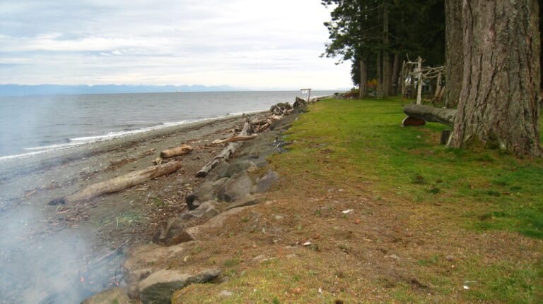
Beaches: The attractive Fraser Lake has three sandy beaches and nearly 20 kilometres of shoreline. Watersport activities are obviously popular in this area, and include swimming, waterskiing and windsurfing.
Beaumont Provincial Park provides campers with open views of Fraser Lake and a breeze that keeps the mosquitoes away. Vehicle and tent campsites are available just off Highway 16 near the community of Fraser Lake. Beaumont was the site of the historic Fort Fraser in the 1840s, and there are still a few signs of the habitation around the park.
Stellako River Wildlife Management Area protects 503 hectares of river and riparian habitat along the Stellako River near Fraser Lake. The Stellako River is one of the top rainbow trout river fisheries in BC, and is also used by chinook and sockeye salmon. The area is a destination for sport fishing and other recreational opportunities.
Extinct Volcano: Climb the 25-million year old lava beds and volcanic cone of the extinct Red Rock Volcano. Trees over one hundred years old still thrive inside the volcano’s crater. Trails to Red Rock, also known as Table Top Mountain, lead from the Stellaq’o Village.
Wildlife: Watch for Trumpeter Swans on the Nautley River and the area between Stellako River and Fraser Lake, which is used as a nesting area. The bridge west of Fraser Lake is a good vantage point from which to view the largest waterfowl in North America and the largest swan in the world. The Mouse Mountain Hiking Trails provide a splendid view in the fall of hundreds of swans gathering in preparation for their journey south for the winter.
Summer Tours of the Endako Molybdenum Mine and Fraser Lake Sawmill are available by appointment. Endako Molybdenum Mines, which is a large employer of Fraser Lake residents, was at one time the second largest Molybdenum Mine in the world, processing between 29 to 30 thousand tons per day. From its humble beginnings in the early 1900s, Fraser Lake Sawmill evolved into one of the world’s most modern sawmills, producing enough board feet each day to build 100 homes.
Pictographs: Cross to the north side of Fraser Lake to view the three sets of Native pictographs located on Indian reserve #2.
Nautley River: See one of the shortest rivers in the world; the Nautley River drains Fraser Lake into the Nechako River. Less than one kilometre in length, the Nautley River is an important traditional salmon fishing spot for the local Nadleh Whut’en First Nation people, as it has been for ages.
Hiking: Hikers can follow the Mouse Mountain Hiking Trails and the Ormond Creek Trail on the north shore of Fraser Lake. The trailhead is just beyond Peterson’s Point Campsite. The same trails are used for cross-country skiing in winter. Mouse Mountain Hiking Trails provide an added bonus in the fall, with a splendid view of hundreds of swans gathering in preparation for their journey south for the winter.
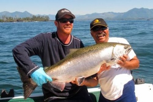
Fishing: Some of Canada’s best sports fishing is found in the Vanderhoof/Bulkley Valley region. Summer sees a great annual salmon run on the Stellako River, between Fraser Lake and Francois Lake to the east, making it a superb spin-casting and flyfishing river. The host of small lakes in the area provide excellent fishing for rainbow trout.
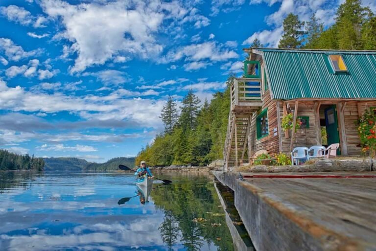
Paddling: Paddlers can challenge the Stellako and Nechako Rivers, suitable for novices and experienced canoeists. Located on the edge of the Lakes District, which comprises over 300 lakes, canoeing is very popular in this area and you are seldom far from a great place to paddle.
Canoeing & Kayaking in Nechako and Tweedsmuir Park, Northwest BC.
Golf: Molyhills Golf Club is located in the heart of the beautiful Glenannan tourist area, on the shores of East Francois Lake. Molyhills offers a short but challenging par 36 golf course, with scenic views of Francois Lake.
Golf Vacations in British Columbia.
Winter Activities: Winter is a great time to be in the valley, with outdoor activities including cross-country skiing, snowmobiling and ice fishing, with hockey and curling played in indoor facilities.
The Mouse Mountain Days Festival is an annual family event that takes place during the first week of July. It involves music, games for kids such as wheel barrel races, fireworks, barbecue picnic lunches, and local baking. This event is fun for all ages, so bring the whole family.
West of Fraser Lake is Burns Lake, a vibrant and modern community on the Yellowhead Highway that has retained its pioneer spirit and small town charm. Burns Lake is the main service centre for the entire Lakes District.
East of Fraser Lake is Fort Fraser, one of the oldest settlements in British Columbia and named after the explorer Simon Fraser, and Vanderhoof, the geographical centre of the province of British Columbia.
Circle Tours: See the best of Northern BC on one of the Circle Tours that capture the wonders of the north. The Circle Tour of Northern British Columbia incorporates the Alaska Highway through the Rocky Mountain foothills to Watson Lake in the Yukon, linking with the Stewart/Cassiar Highway and Yellowhead Highway 16 in the south. The Inside Passage Circle Tour and the Native Heritage Circle Tour follow the same route, from Port Hardy on Vancouver Island north by ferry to Prince Rupert. Catch another ferry to the Queen Charlotte Islands, or venture east on the Yellowhead Highway to Prince George, and south through the peaceful Cariboo to Vancouver along the historic Cariboo Wagon Road.
Circle Tours in British Columbia.


