Sir Alexander Mackenzie Provincial Park is a small coastal park located near Elcho Harbour on Dean Channel, approximately 65 km northwest of Bella Coola on the central coast of British Columbia. Sir Alexander Mackenzie Provincial Park is recognized as a cultural heritage site, located at the westernmost point in the journey of Alexander Mackenzie.
Alexander Mackenzie is Canada’s Lewis and Clark, both wrapped up into one intrepid explorer. Mackenzie was the first European to cross the Rocky Mountains and view the western seas from the shores of northwestern North America, preceding the more widely known Lewis and Clark expedition by 12 years. Mackenzie and his party trekked overland and by canoe from Lake Athabaska in 1793 on behalf of the North West Company in search of a trade route to the Pacific. His journey took him 72 days and covered over 1,240 miles (2,000 km) of unmapped terrain. Near Prince George, he set out on foot across the Interior Plateau, through the Rainbow Mountains and down Burnt Bridge Creek.
Where the creek enters the Bella Coola River, they rested at a community that was named “Friendly Village” because of the hospitality of its Nuxalk inhabitants. These people guided Mackenzie and his men down the river into Dean Channel. A dispute between the Nuxalk and the coastal Heiltsuk people prevented them from reaching the open sea, but Mackenzie was satisfied that his mission was complete.
His journey followed pre-existing trading trails established by Native British Columbians. The trails were used by First Nations primarily for trading eulachon (a small, smelt-like fish) grease, perhaps the most valued commodity in the northwest. Long before Europeans discovered North America, First Nations peoples used a network of trails between the west coast and the interior of British Columbia for trade and travel. Because these trails were commonly used to transport eulachon grease, they are now referred to as “grease trails”.
At the westernmost point of his journey, Mackenzie wrote on a rock in reddish paint made of vermilion and bear grease: “Alex Mackenzie from Canada by land 22nd July 1793“. Now called Mackenzie’s Rock, the rock near the water’s edge still bears his words, which were later permanently inscribed in the rock by surveyors. A prominent 40-foot cairn stands above the rock, and a plaque, erected in 1926 by the Historic Sites and Monuments Board of Canada, is also located in the park. The cairn also marks the location of a historical fortified First Nations village, and petroglyphs can be found at the cobble beach.
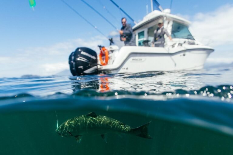
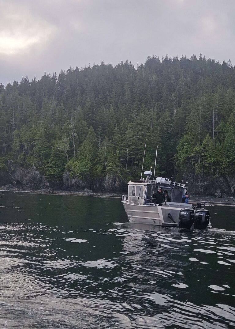
Recreational use of the 5-hectare park is limited to day-excursions by air, or boat charter from Bella Coola or Bella Bella. The park is remote and access is difficult. Visitors should be prepared for variable water and weather conditions. Boaters may tie up to shore during good weather, but there is no dock or secure anchorage.
Sir Alexander Mackenzie Provincial Park has no wilderness, backcountry or walk-in camping facilities, no day-use area or picnic facilities, no toilets, and campfires are not permitted. There are undeveloped campsites a short distance northeast of the point, outside the park. visitors should bring their own drinking water, as potable water is not available. There are fishing and kayaking opportunities at the park, but access is lengthy and requires experience.
As you cruise through the waters near the park, watch for orcas, Pacific white-sided dolphins, harbour seals and other marine mammals. It is important that you keep your distance from these creatures – never approach closer than 100 metres. Steer a steady, slow course and avoid cutting in front of them. On shore, watch for Columbia black-tailed deer, mink, black bear and wolves.
The park marks the end of the Alexander Mackenzie Heritage (Grease) Trail, which travels through Kluskoil and Tweedsmuir South Provincial Park. Hikers with a historical bent would appreciate tackling some or all of the Nuxalk-Carrier Grease Route, known as the Alexander Mackenzie Heritage Trail, which stretches a full 264 miles (420 km) from the mouth of the West Road (Blackwater) River between Prince George and Quesnel to the Sir Alexander Mackenzie Provincial Park. The major appeal of the extensive backcountry hiking or horseback riding trail is the opportunity for long-distance wilderness travel along an historic route that follows the footsteps of First Nations peoples, Alexander Mackenzie, and other explorers. The trail’s hiking terminus is at Burnt Bridge Creek, adjacent to the western boundary of Tweedsmuir Provincial Park, where it is intersected by Highway 20.
Designated as the first heritage trail in British Columbia in 1985, the Alexander Mackenzie Heritage Trail is gaining international recognition among hikers who wish to make a three-week trip along this historic route. The trail includes local wagon roads, provincial highways, forest access roads, rivers, and coastal waterways. Approximately 186 miles (300 km) of this corridor is recreational trail, and about 62 miles (100 km) is well-preserved aboriginal footpath. The 50-mile (80-km) stretch of the trail in Tweedsmuir Provincial Park, which takes five to seven days to travel, is perhaps the most scenic of the entire route. A short section of the trail that offers views of the Bella Coola Valley and south to Stupendous Mountain can be reached in a one- to two-hour loop from Burnt Bridge Creek.
The heritage trail spans an area traditionally occupied by three culturally distinct Native groups: the Nuxalk people of the Bella Coola Valley, an enclave of the Salishan linguistic group; the Heiltsuk people of Bella Bella and the Outer Coast, members of the Wakashan linguistic group; and the Southern Carrier people of the Interior Plateau, members of the Athapaskan linguistic group. There are a number of prehistoric cultural sites along the trail. Several are at Bella Coola and in Tweedsmuir Provincial Park, and about eight are located in the Upper and Lower Blackwater River areas. Portions of the trail itself have been in use for thousands of years.
It is not necessary to hike the 264-mile (420-km) route from Prince George to Bella Coola in one trek in order to get a feeling for what Mackenzie encountered. There are a number of access points to the trail, mostly in the first 60 miles (100 km) or so. The main trailhead begins next to a parking lot on Blackwater Road, southwest of Prince George, near a viewpoint that overlooks the Blackwater River Valley. To reach it, travel about 37 miles (60 km) south of Hwy 16 on Blackwater Road, which begins west of Prince George. You can also fly in via floatplane to points along the trail – or, rather, trails, as this is not so much a single trail wending over hill and dale as it is a network of interconnected trails, fragmenting into a dizzying array of routes in some places.
Sometimes, these are just different routes around a lake, while at other points the trails lead to different destinations entirely. Proper maps and a compass are indispensable. To obtain a detailed map, contact the Forest Service’s Prince George Regional Office, 250-565-6100. The main trail stretches from the primary trailhead, just south of Prince George where Blackwater Forest Service Road ends at the confluence of the Blackwater and Fraser Rivers, through Tweedsmuir Provincial Park and all the way to Bella Coola, though not to the actual site Alexander Mackenzie reached.
If you do attempt to hike the entire trail in one fell swoop, bear in mind that experienced hikers can expect to take three weeks, and most of the trail runs through remote wilderness areas, far from civilization. The trail is best done in late summer or early fall. Any earlier, and the black flies and mosquitoes in some of the lower, wetter areas can be unbearable.
In order to reach the park, hikers must still travel the last segment of the journey by boat, as Sir Alexander Mackenzie did. Anchorage at the historical rock is poor and exposed to high winds. Temporary anchorage is possible in the cove immediately to the west of the point, but it is shallow and exposed, and suitable only in settled weather. Better protection is found at the head of Elcho Harbour, two miles farther west.
Since portions of this trail may be on or near private property (including Native reserves), trekkers should check with the BC Parks district office in Williams Lake regarding access. Staff there can also supply information on current maps, local conditions, and available guides. No matter how much or little of the trail you want to hike, you must plan ahead. An excellent 200-page guide to the entire trail is In the Steps of Alexander Mackenzie, published by the Alexander Mackenzie Trail Association, Box 425, Kelowna BC, V1Y 7P1.
The park is located near Elcho Harbour, approximately 65 km northwest of Bella Coola, on Dean Channel. Use is limited to day-excursions by air, or boat charter from Bella Coola or Bella Bella. Please refer to the BC Marine Parks Guide for more information. The Canadian Hydrographic Chart is number 3729.
Nearby Regions & Towns
Park Notices